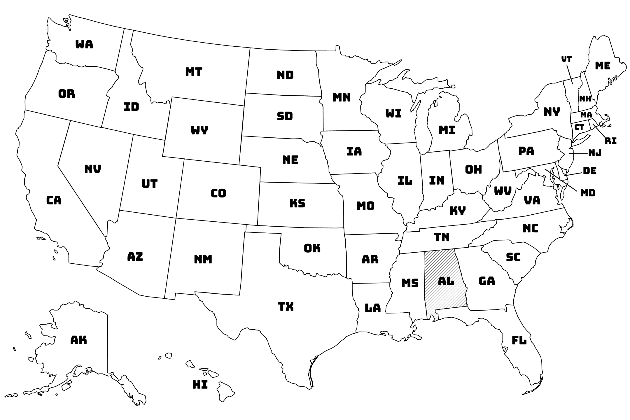
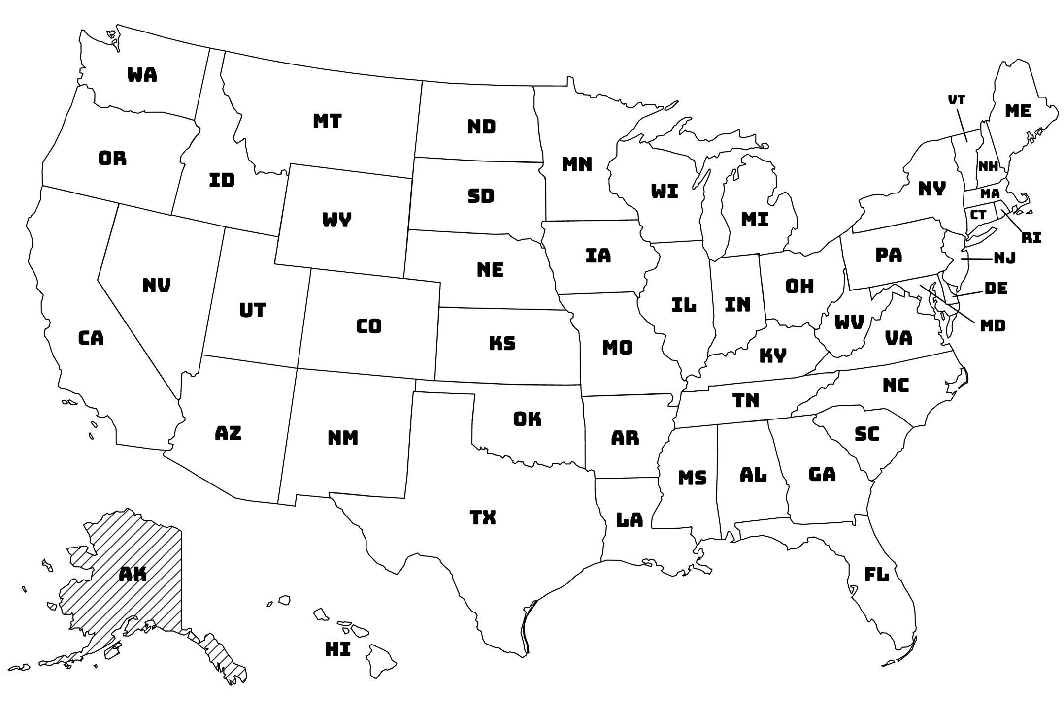
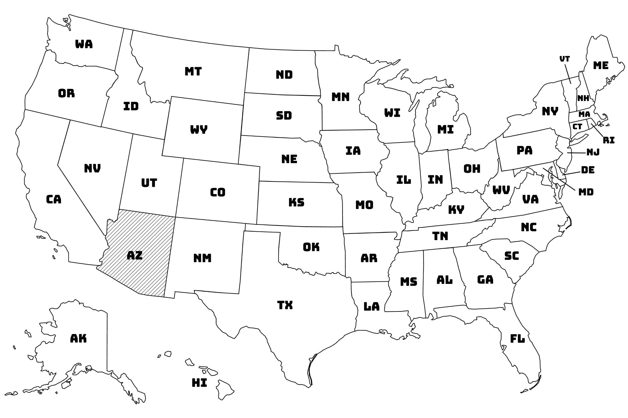
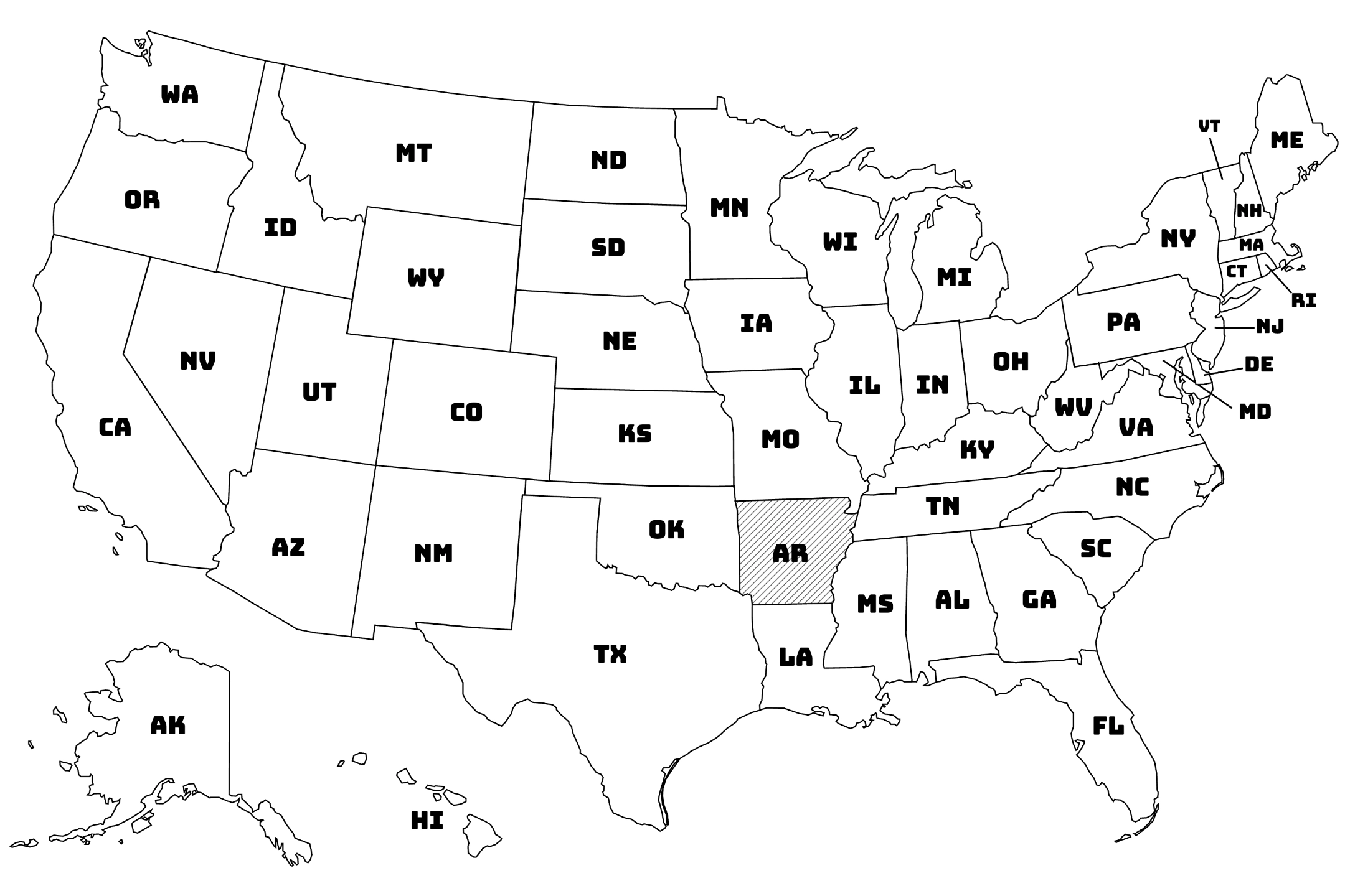
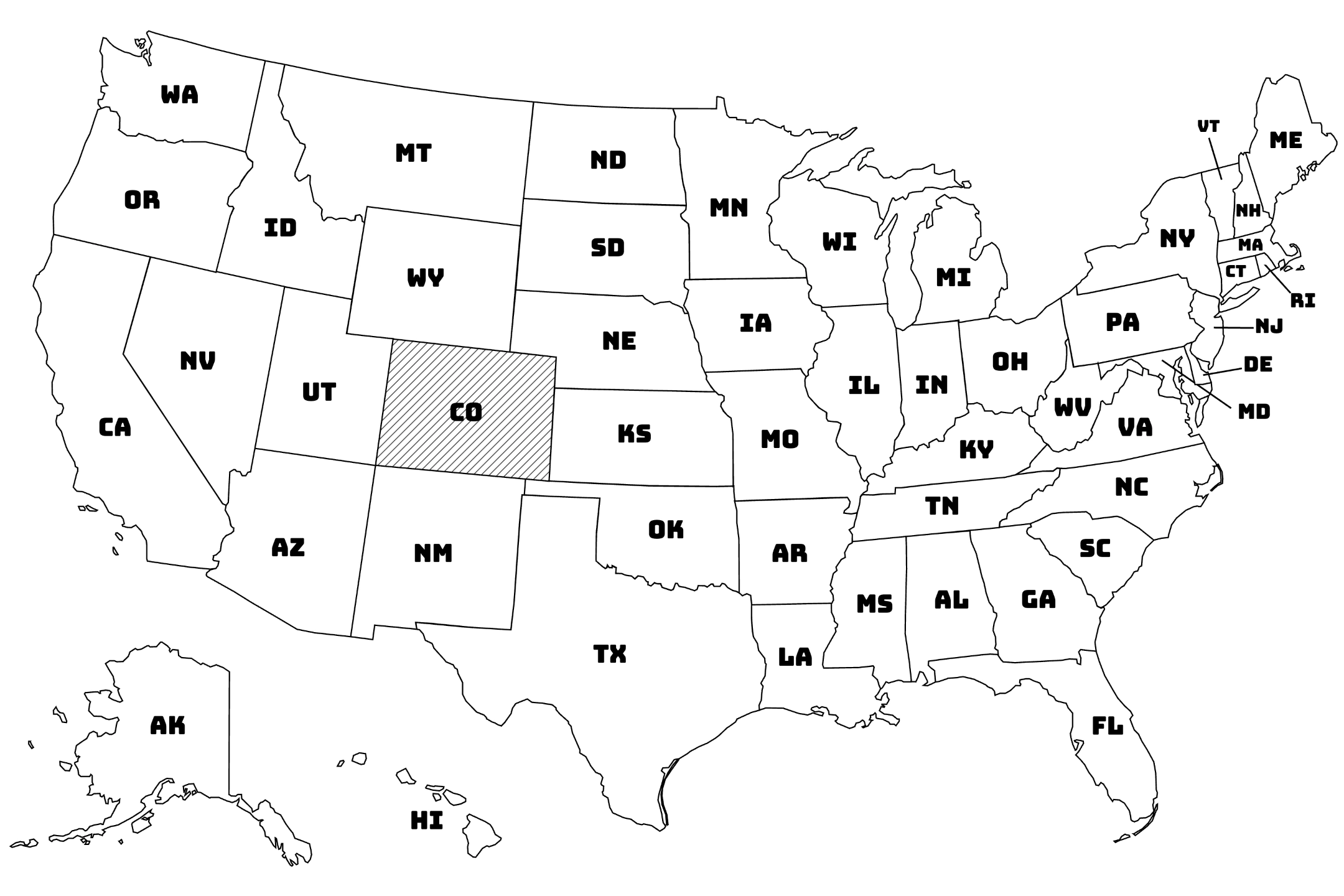
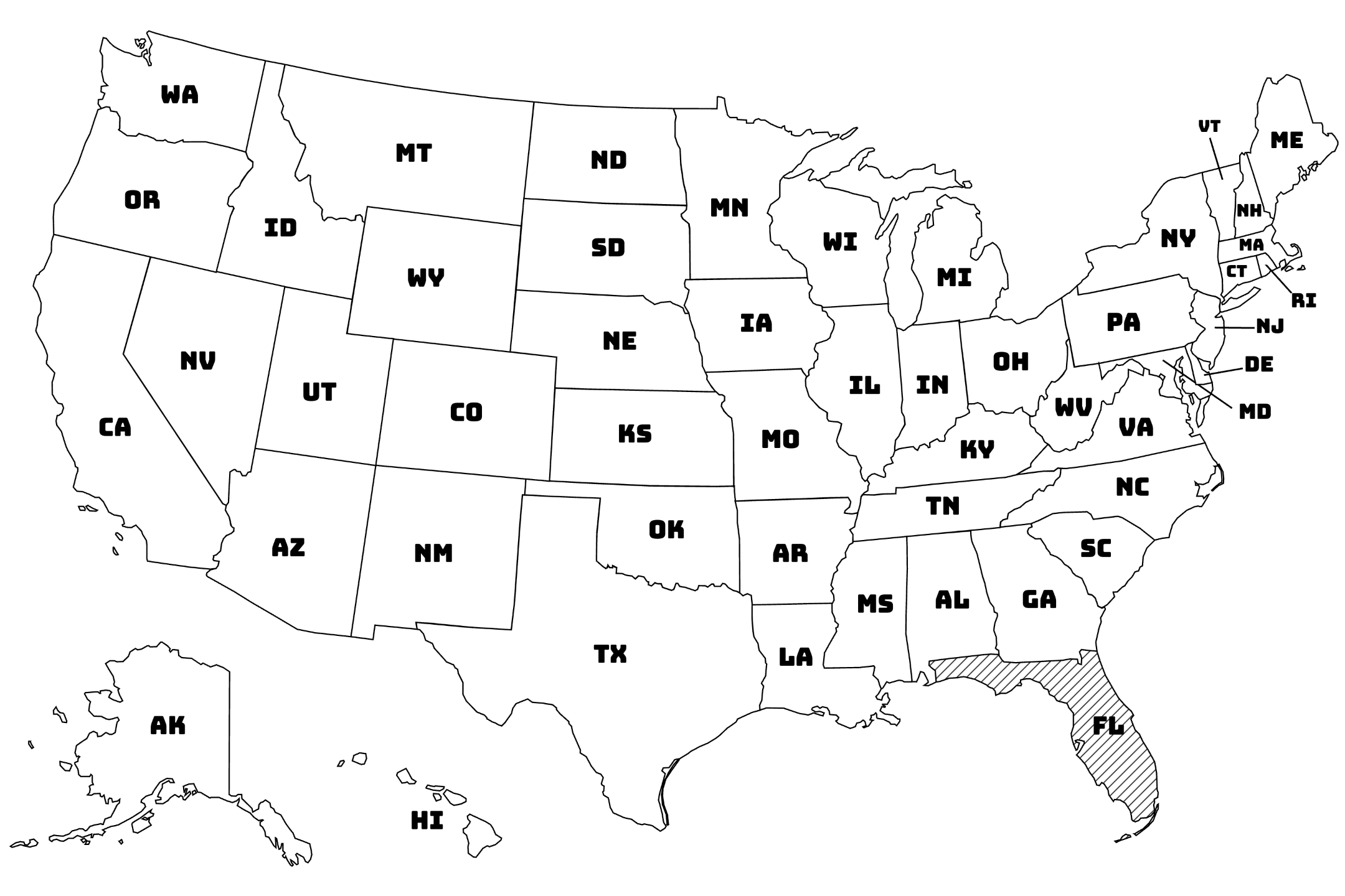
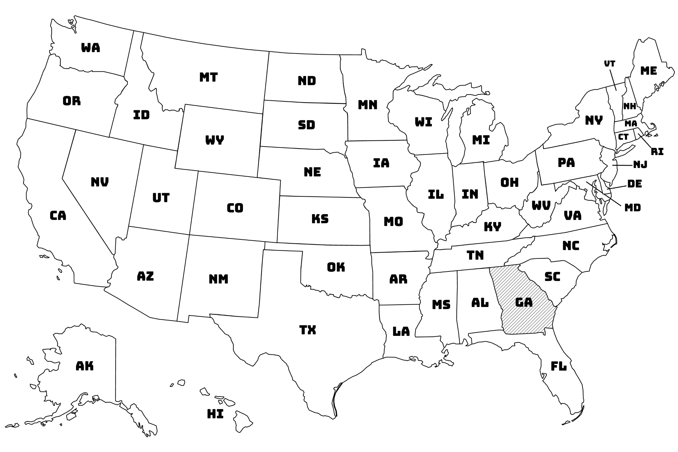
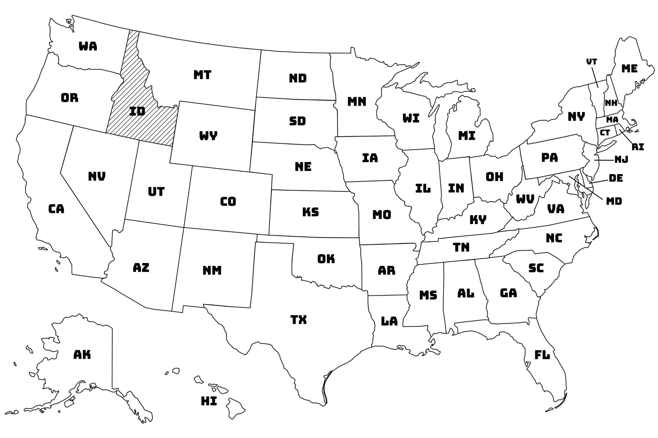
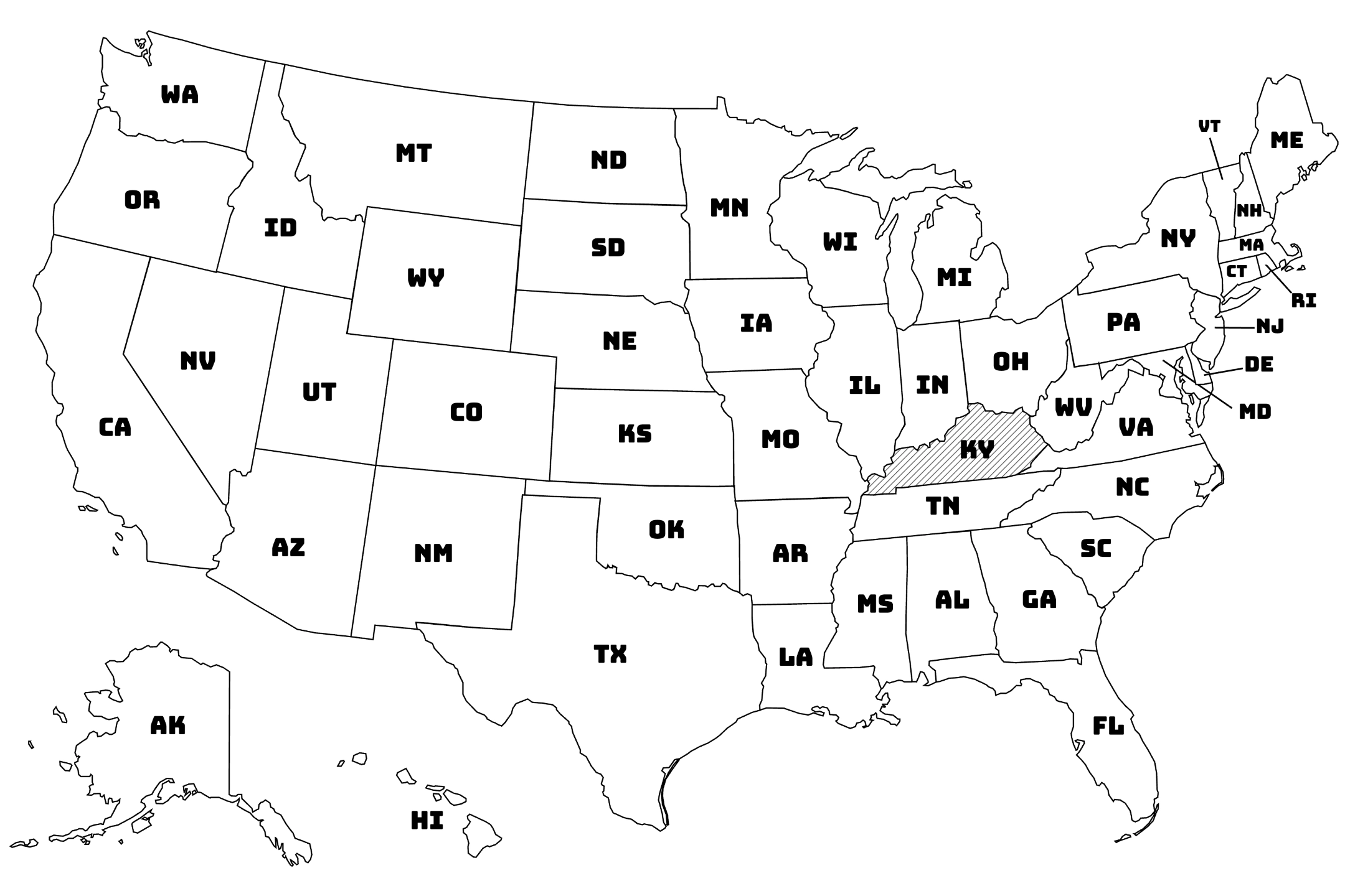
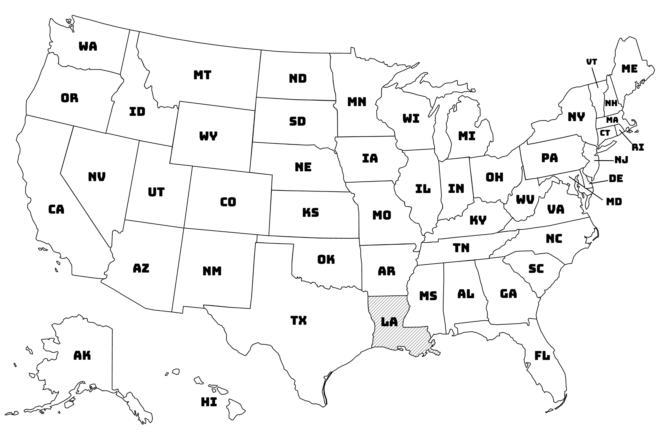
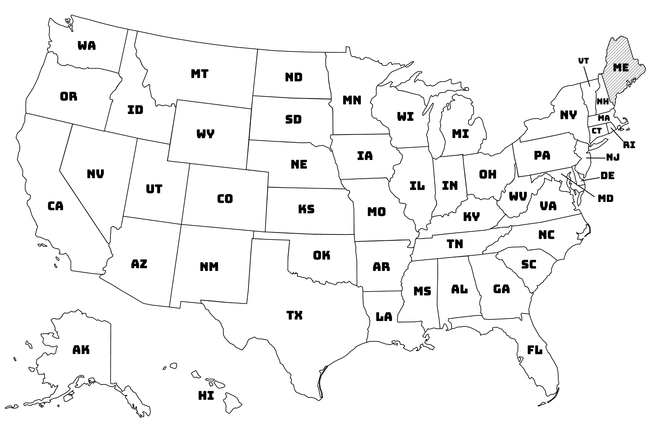
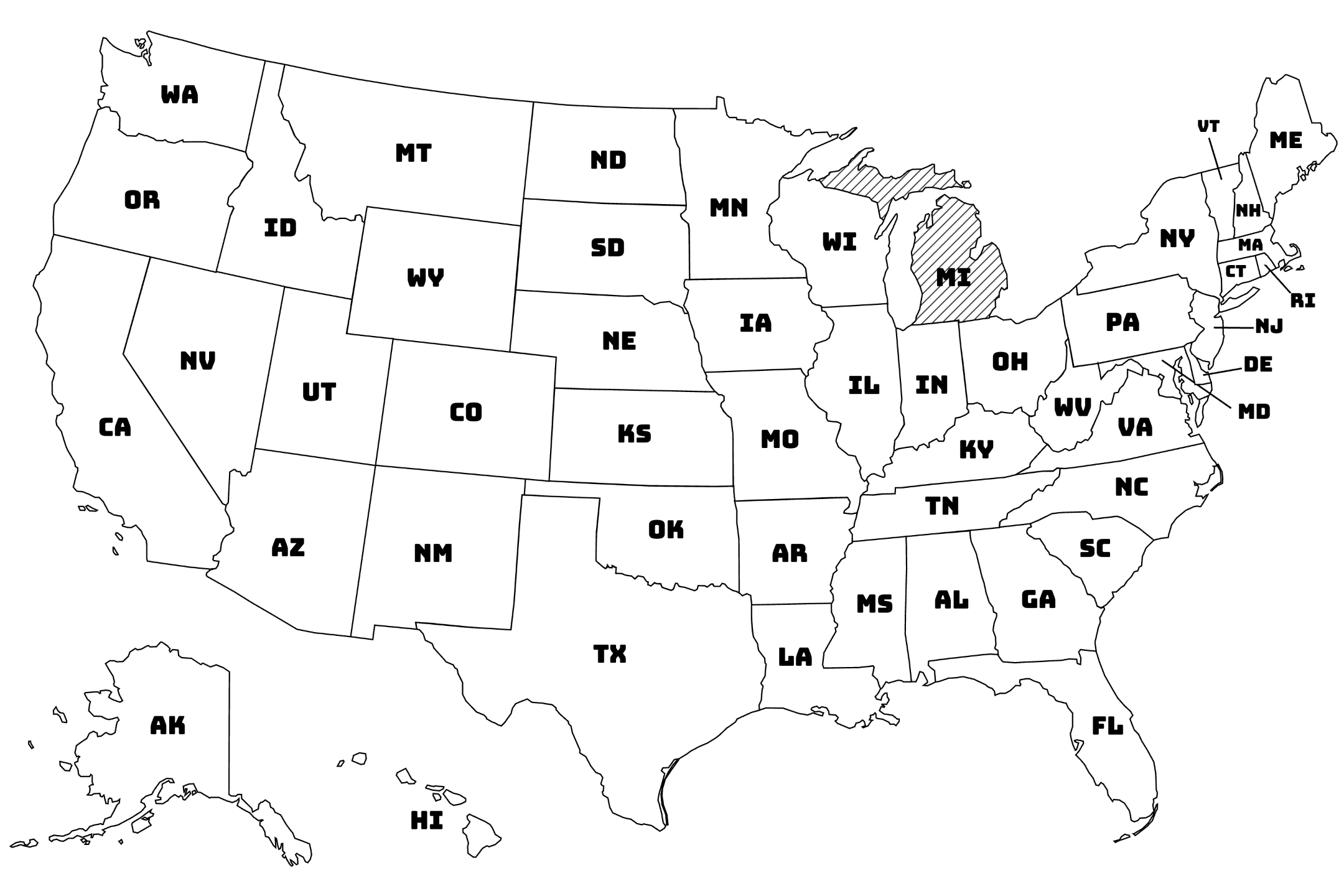
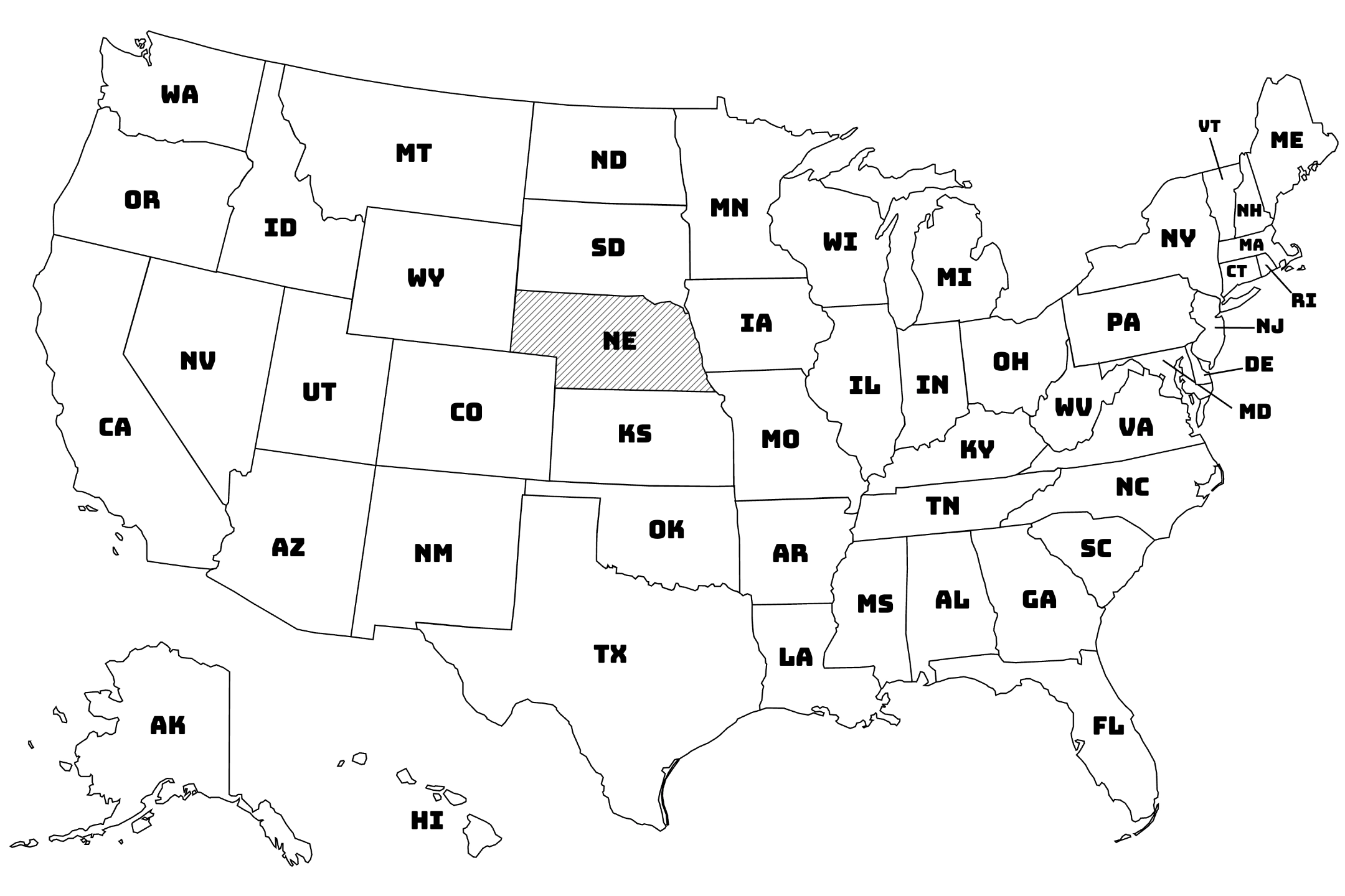
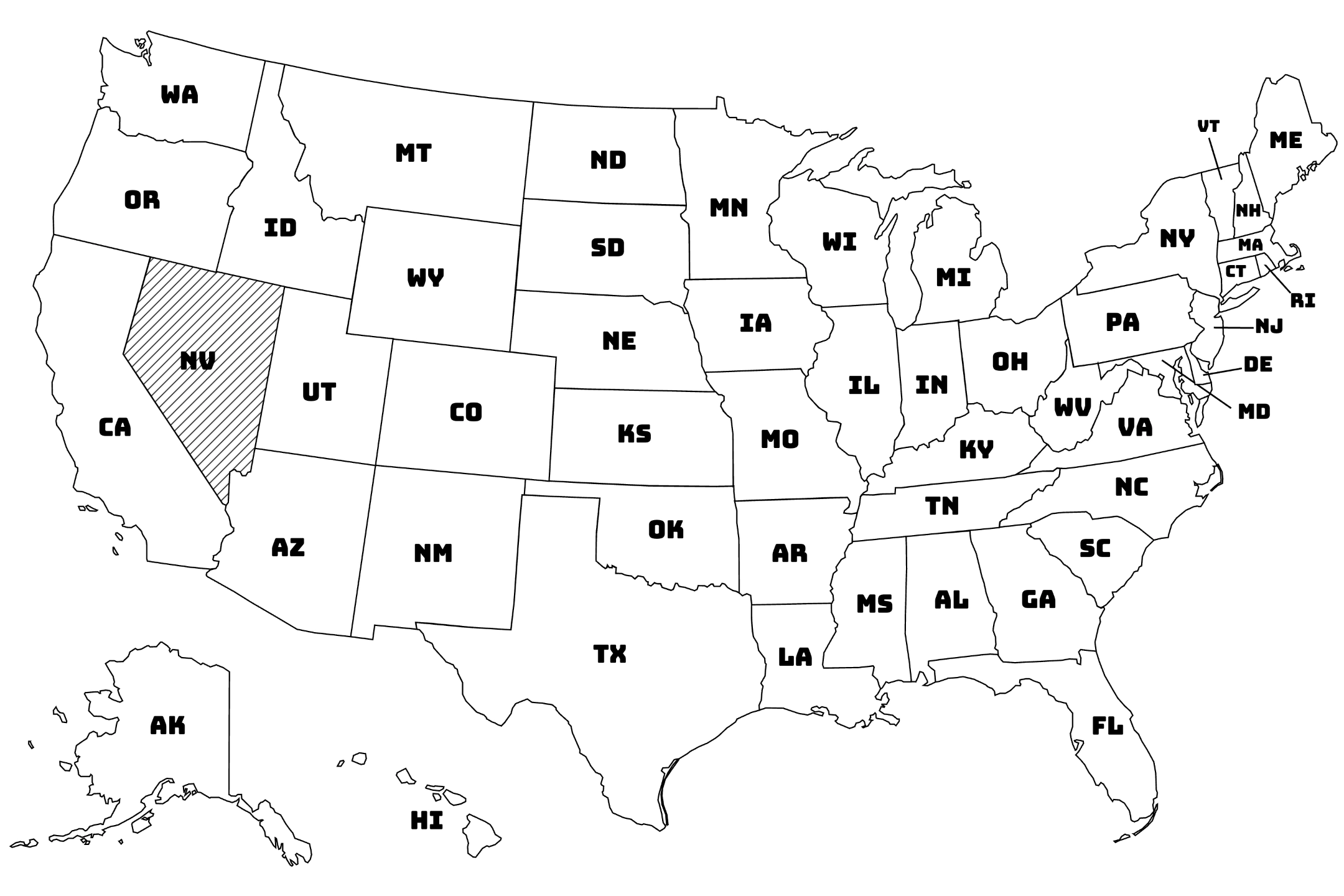
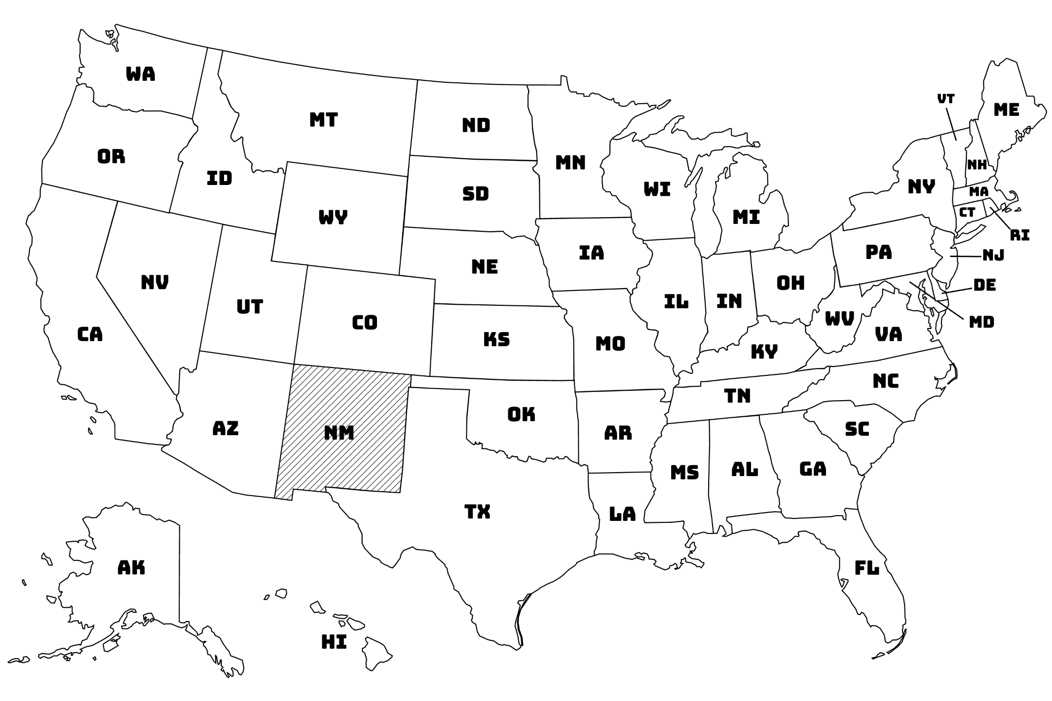
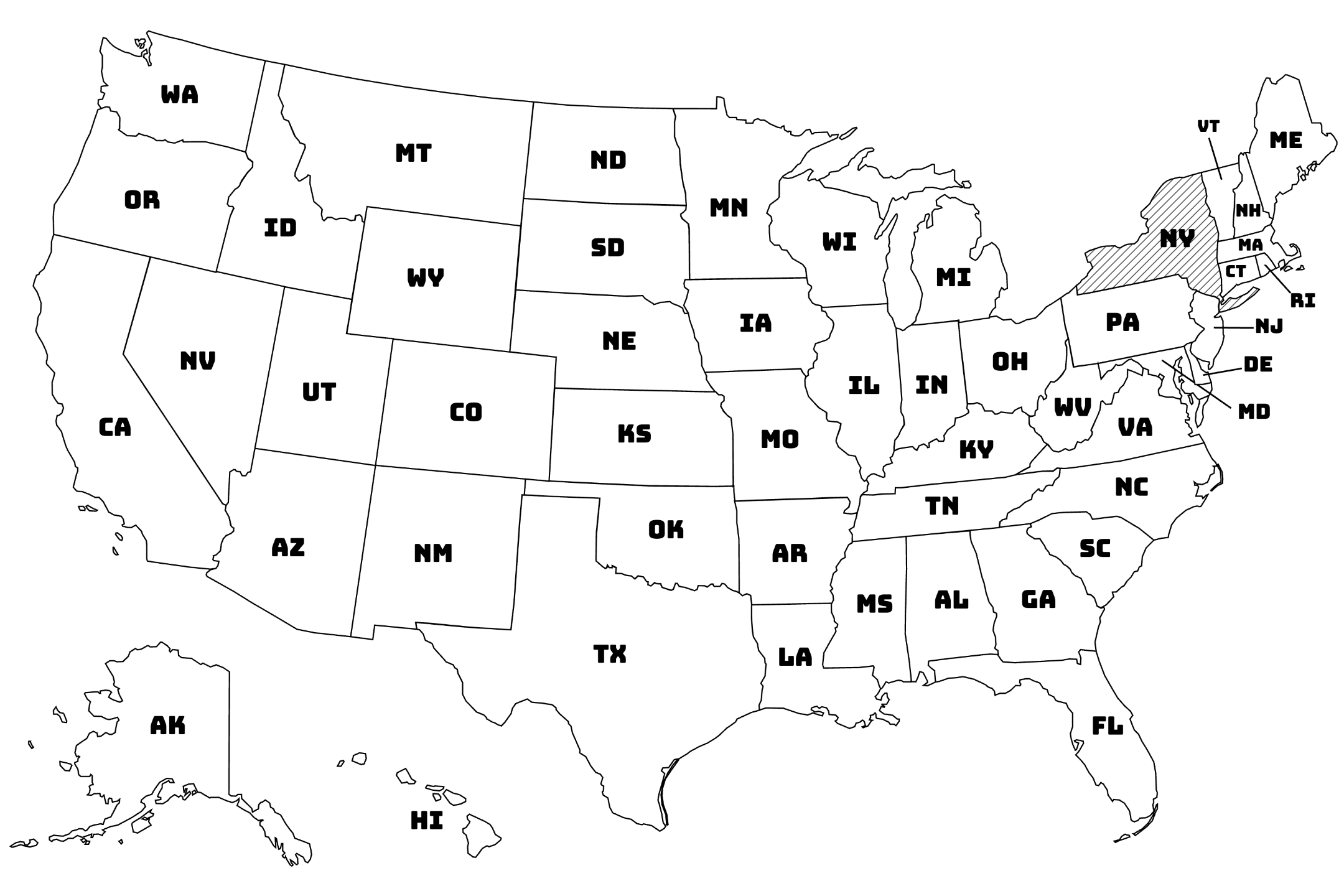
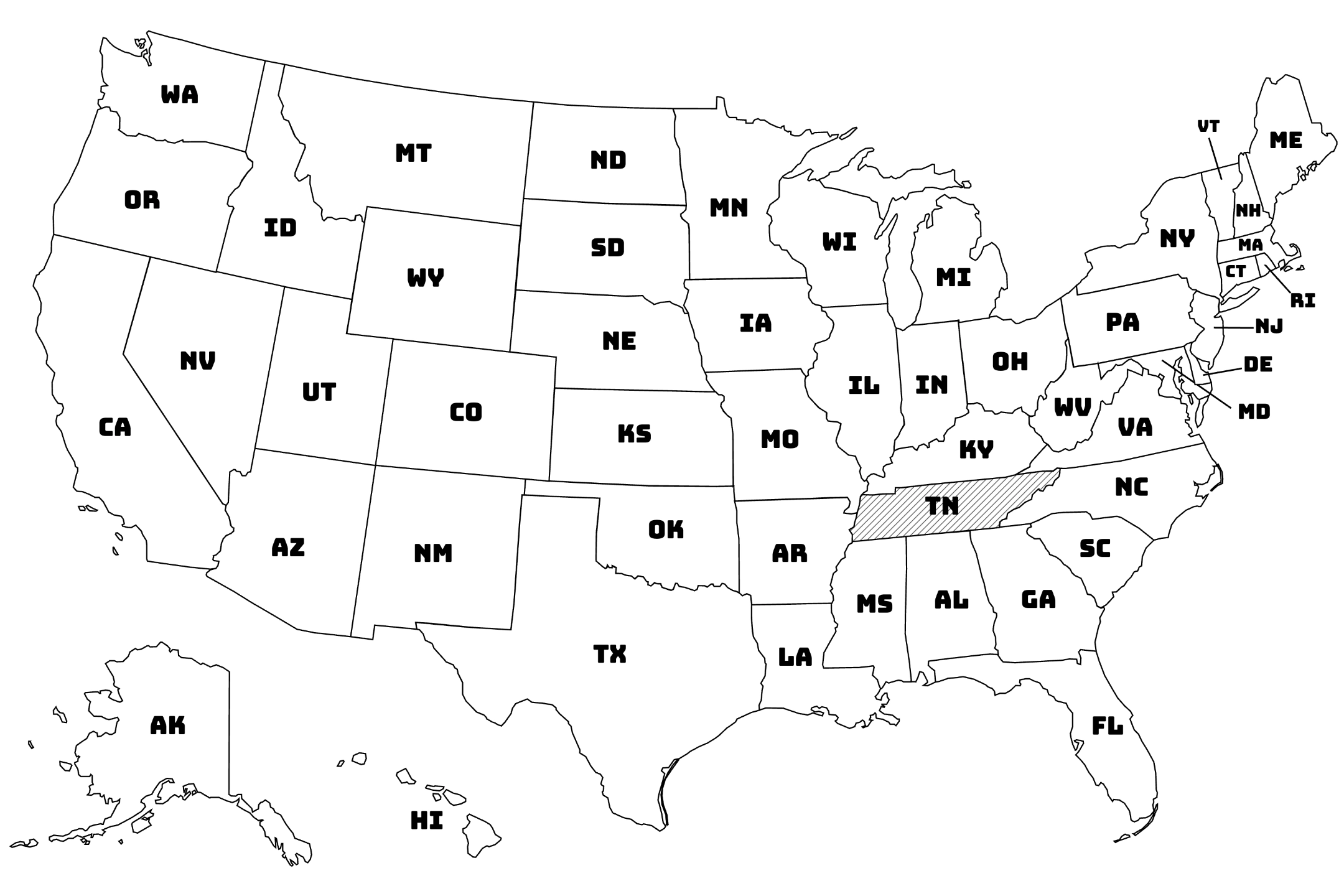
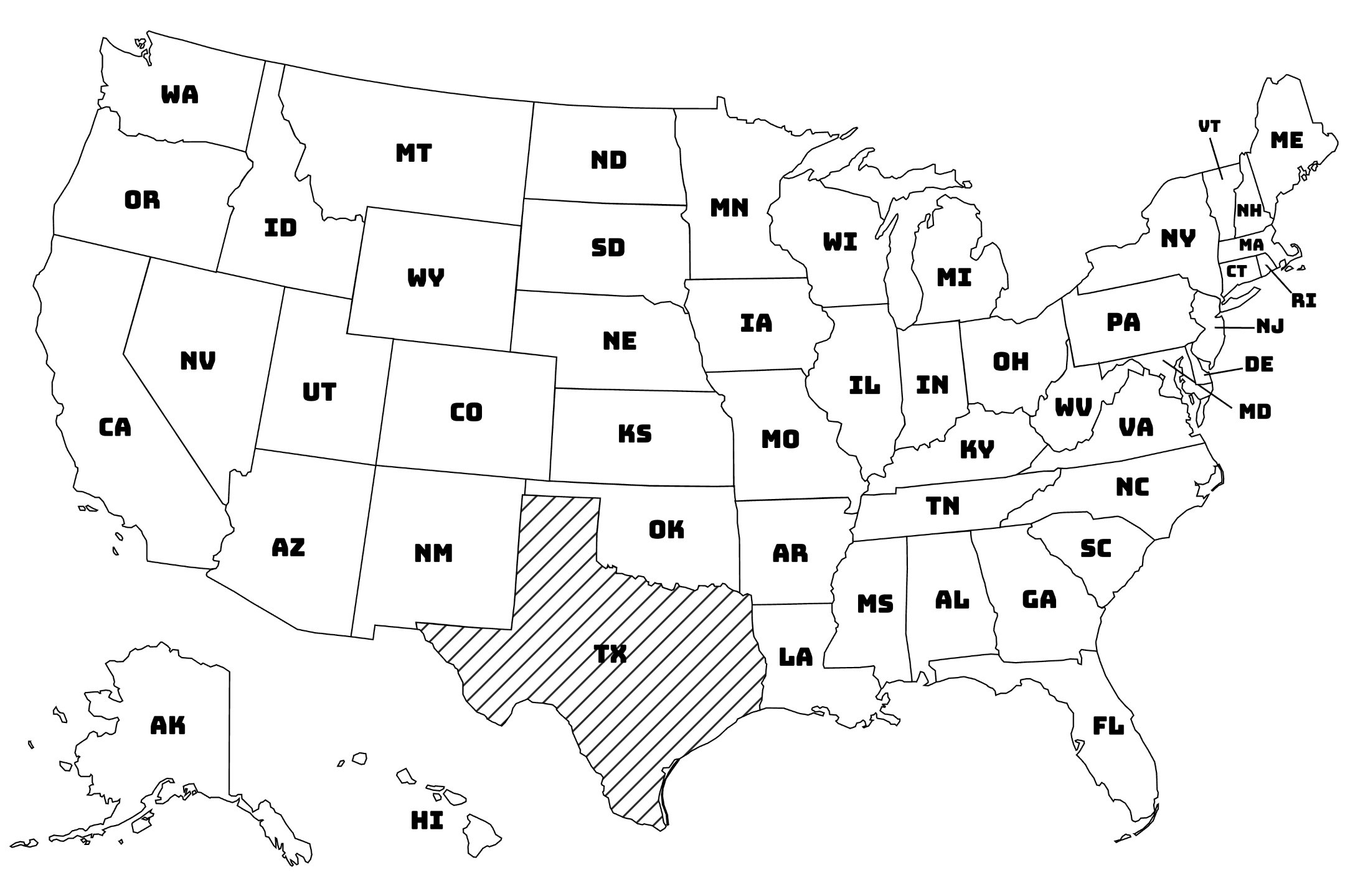
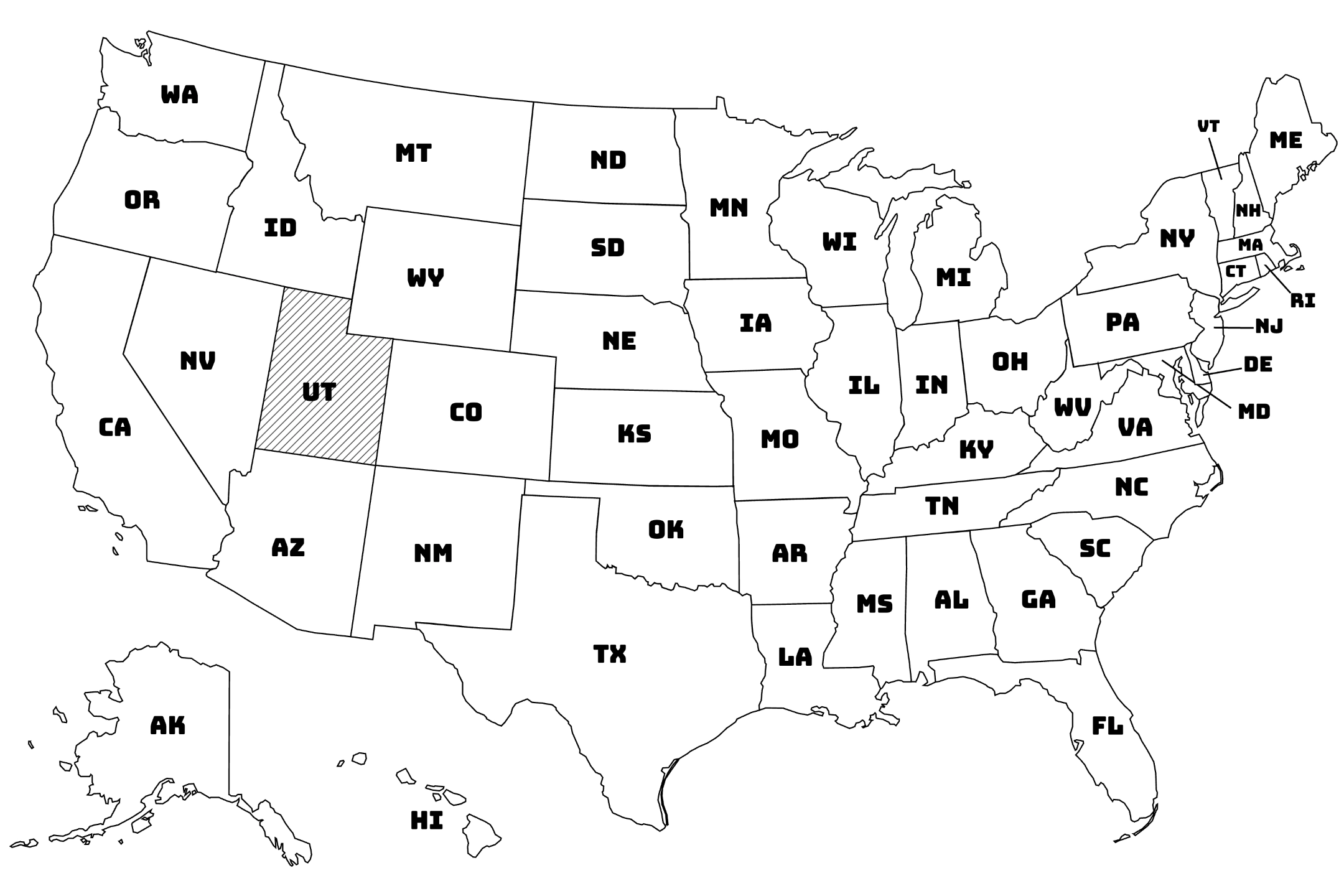
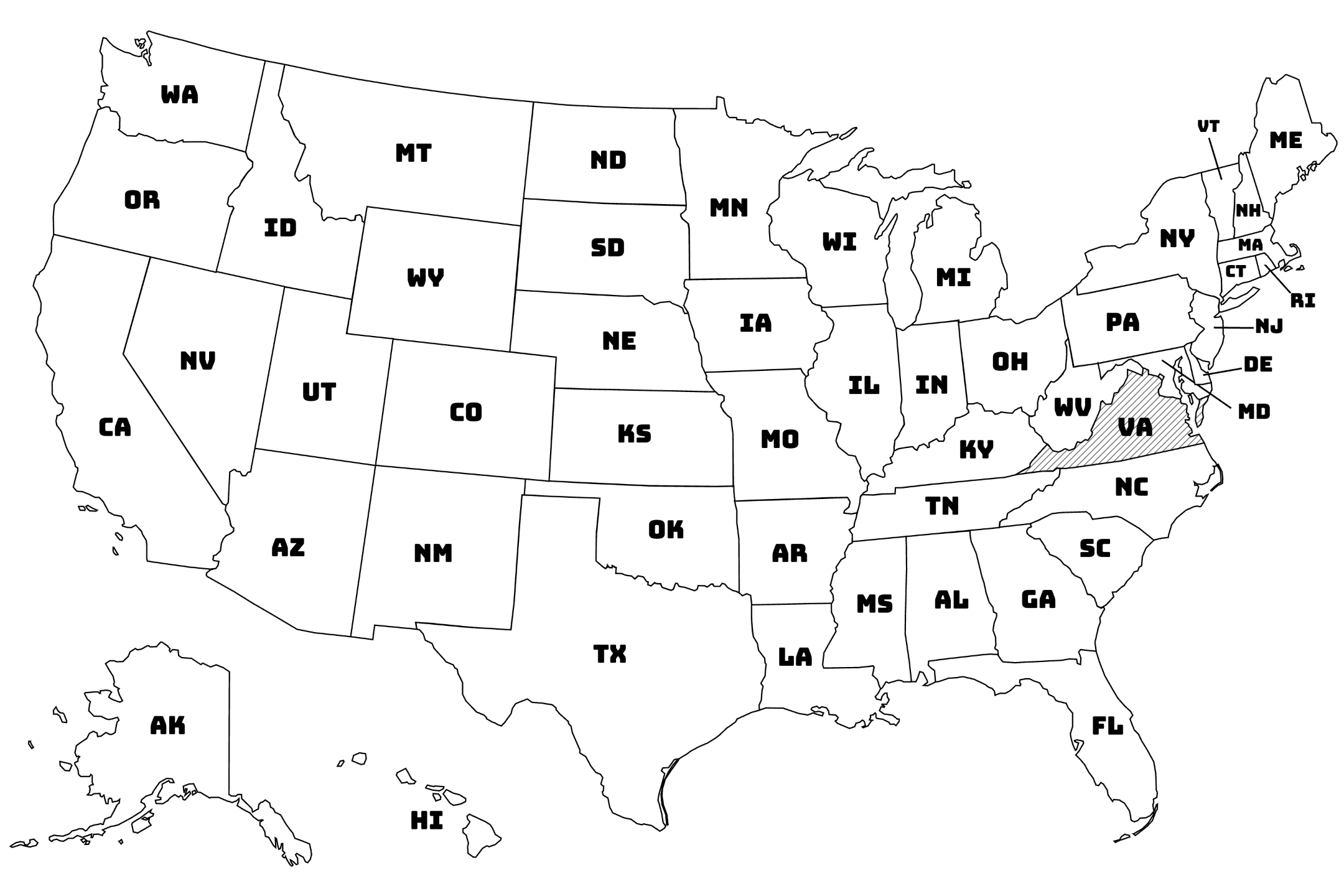
Maps
Explore the world through detailed black-and-white maps designed for learning, discovery, and why not coloring.
Your goal is to recognize regions, trace borders, and build geography skills using blank, labeled, political, or physical maps of continents, countries, and U.S. states.
50 results in this collection.
Last updated on Mon, 09 Jun 2025 14:35:16 GMT
Free Printables


About
Welcome to our extensive collection of Maps! Explore the world from the comfort of your home with our comprehensive library of printable maps that bring geography to life. Our diverse collection features detailed maps from around the globe perfect for students, educators, travelers, and geography enthusiasts looking to learn about countries, states, and regions worldwide.
Global Geographic Coverage
Our comprehensive map collection spans the entire world with detailed representations of various geographic regions:
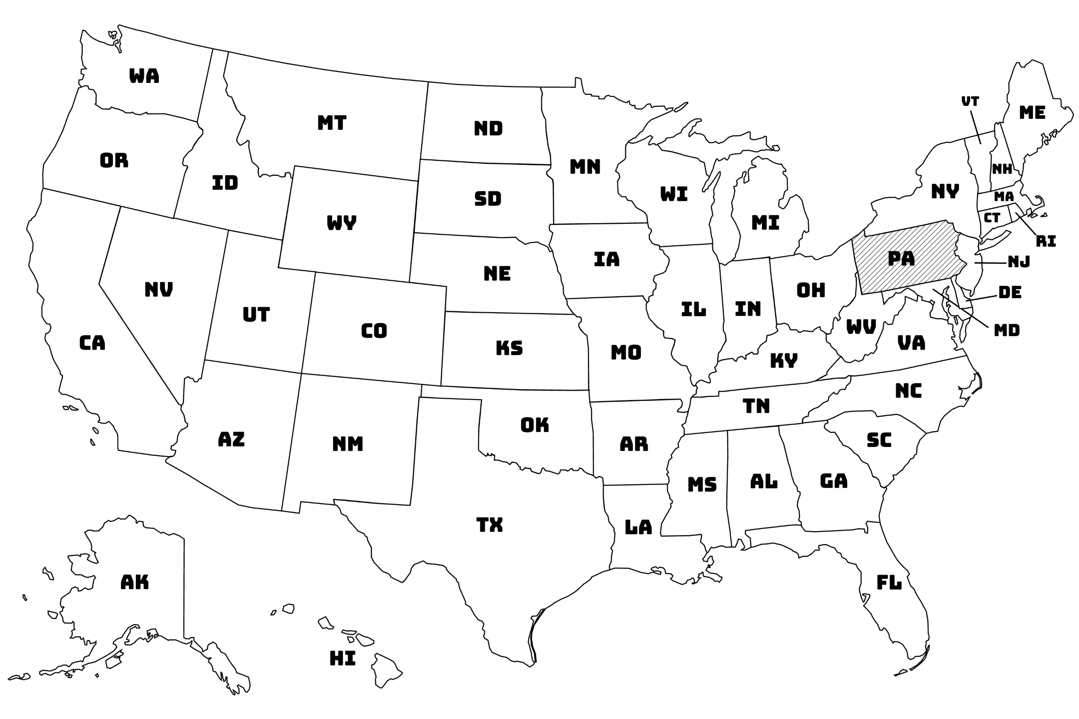
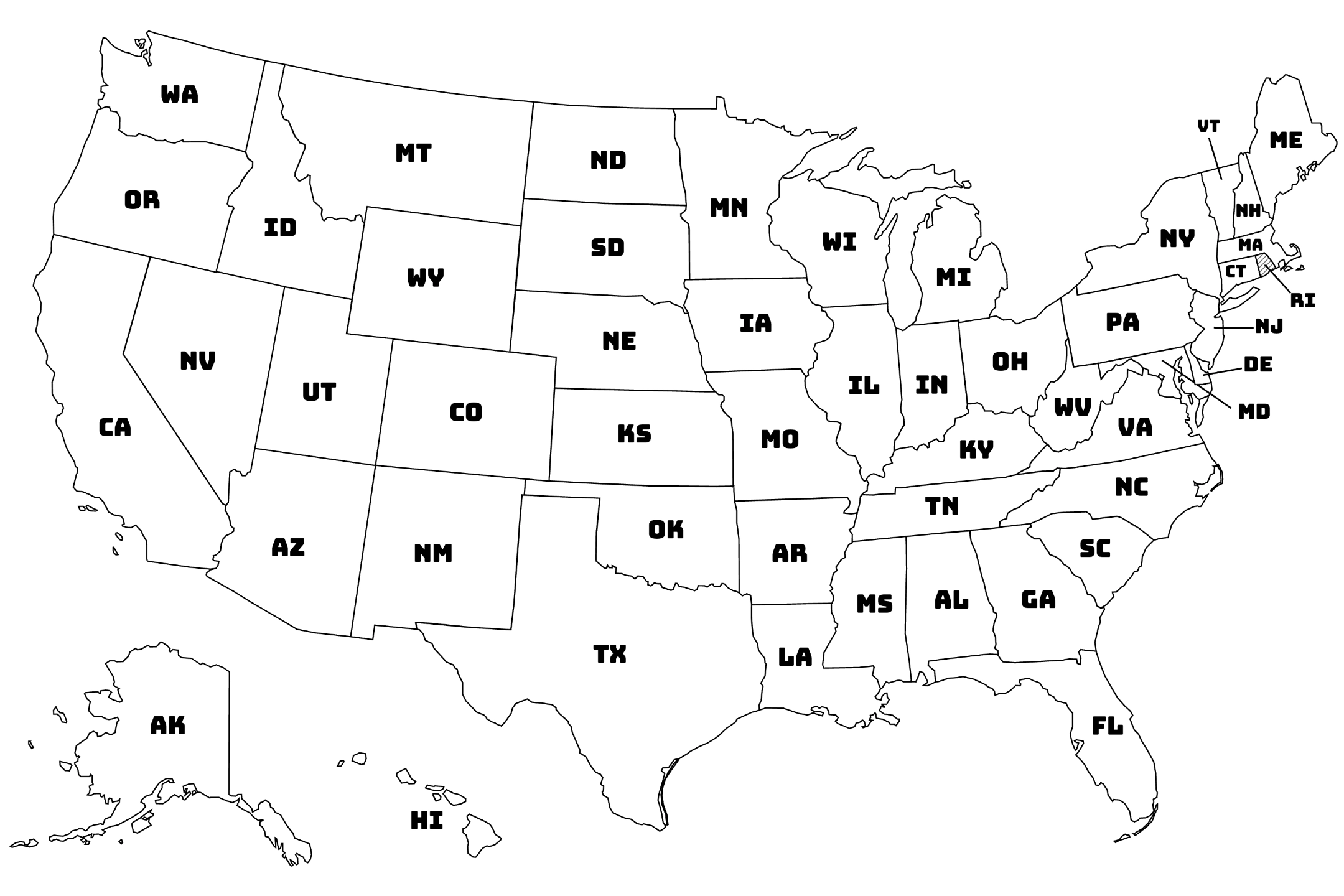
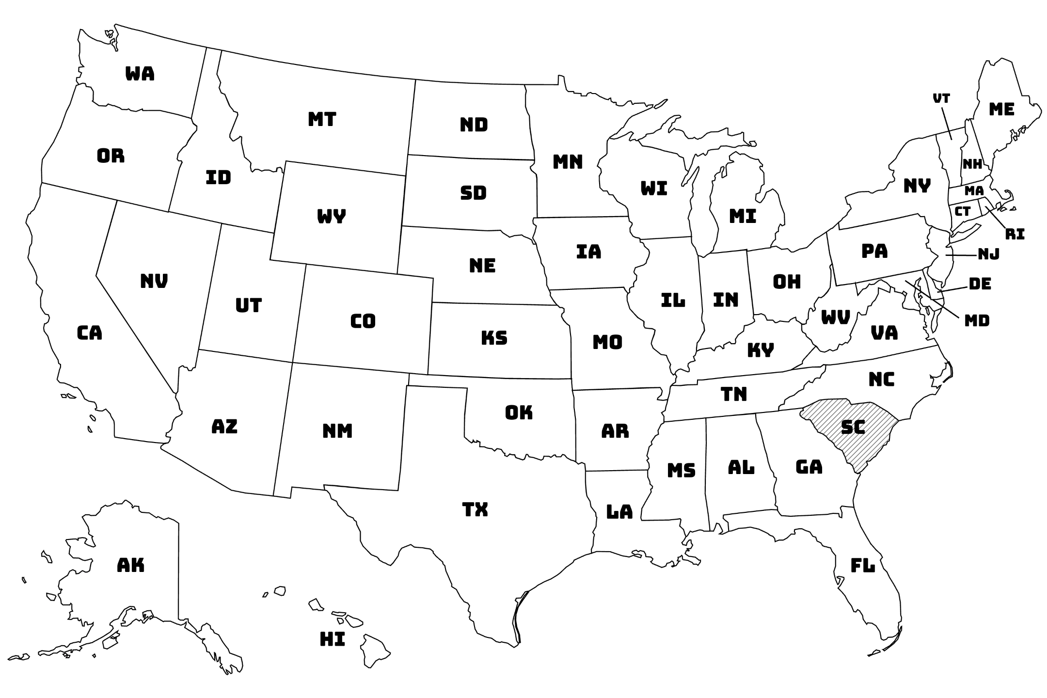
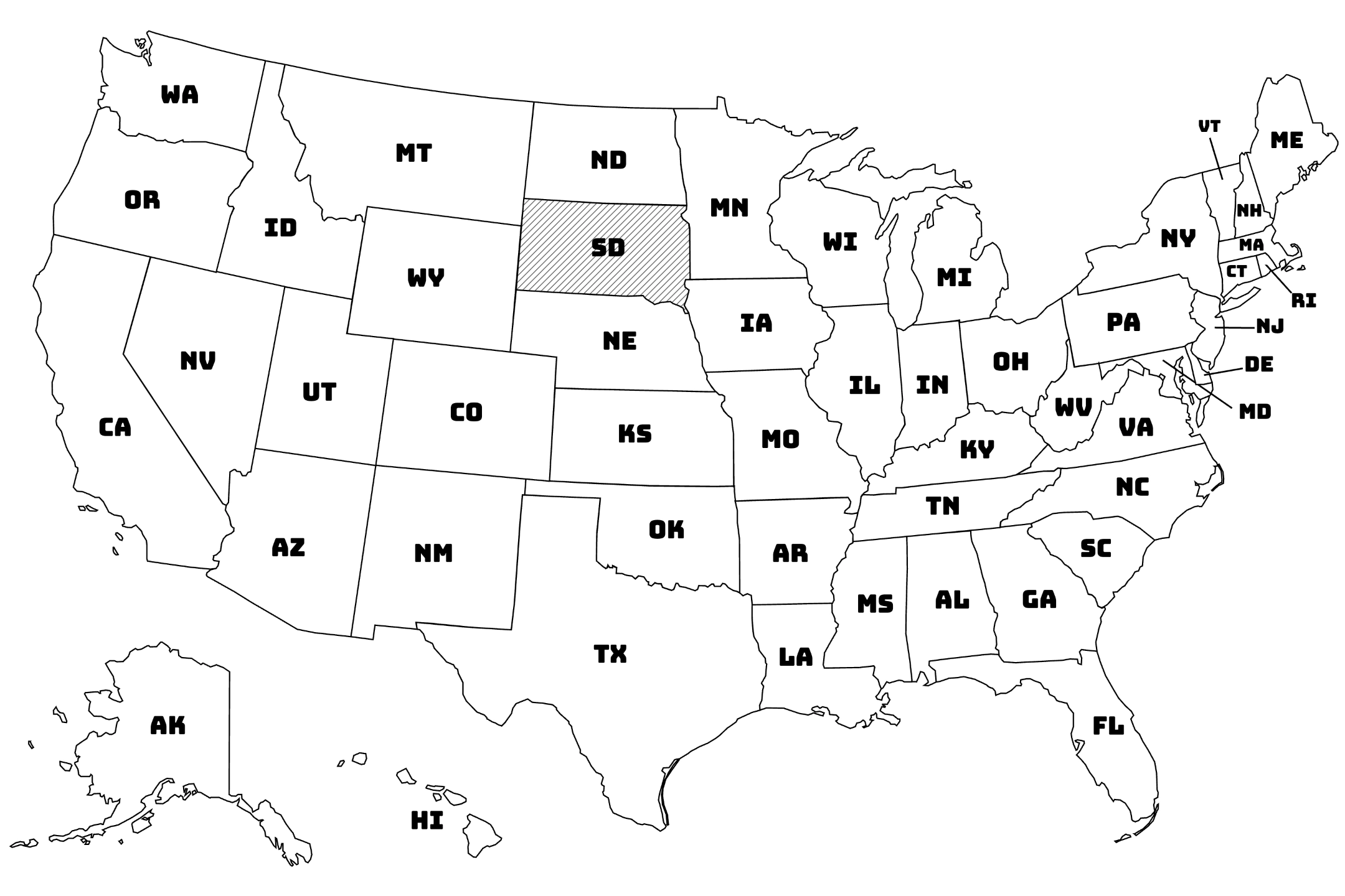
- Country Maps: Detailed maps of individual countries showing major cities, borders, and geographic features
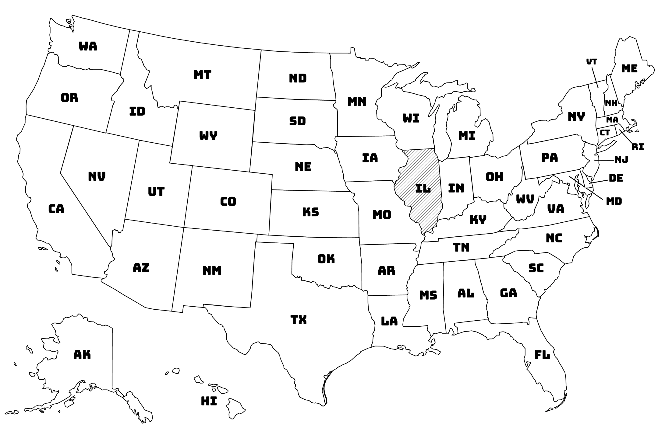
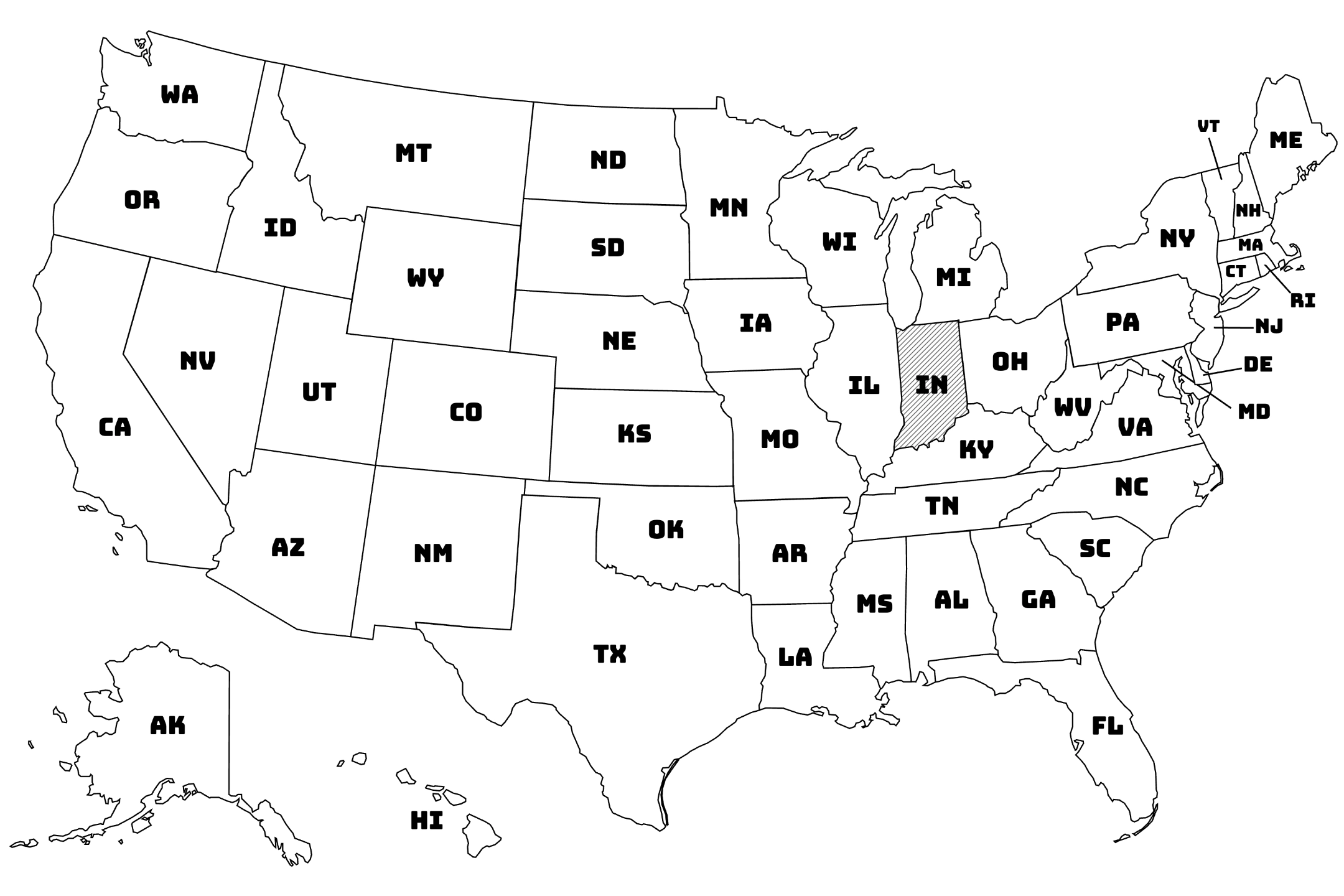
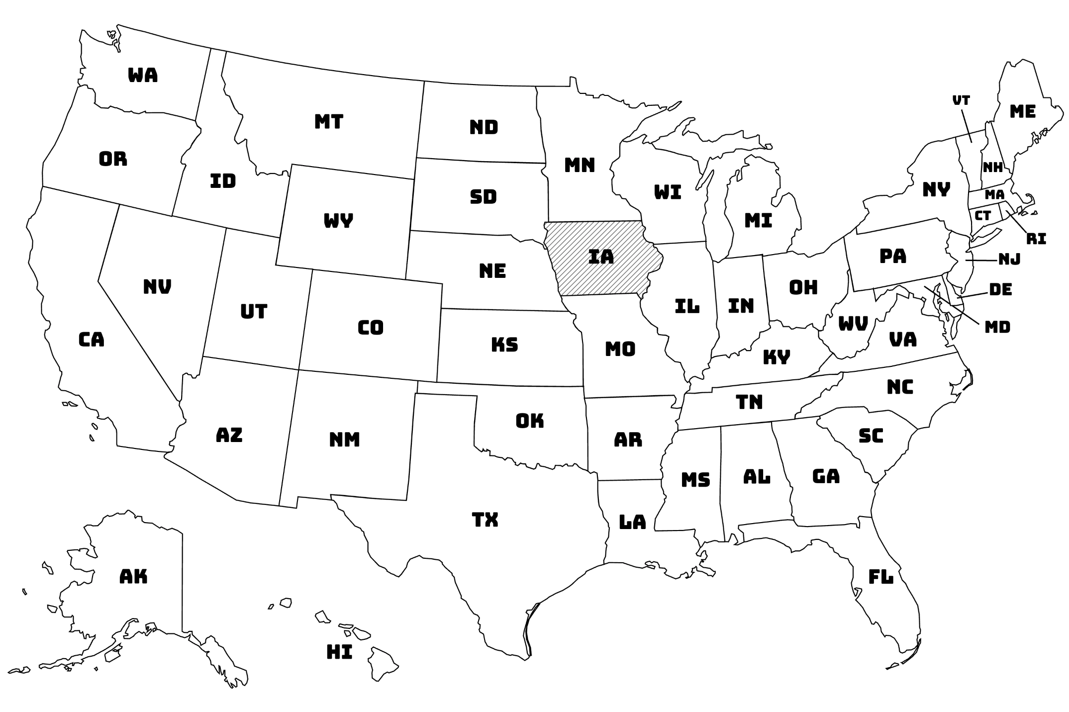
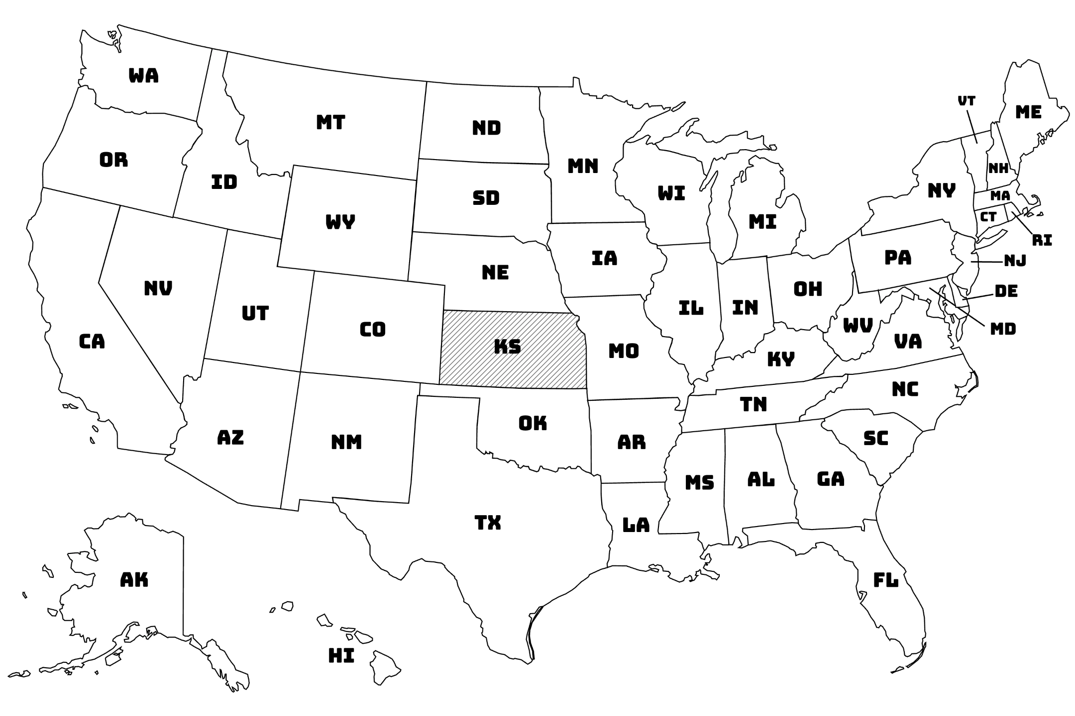
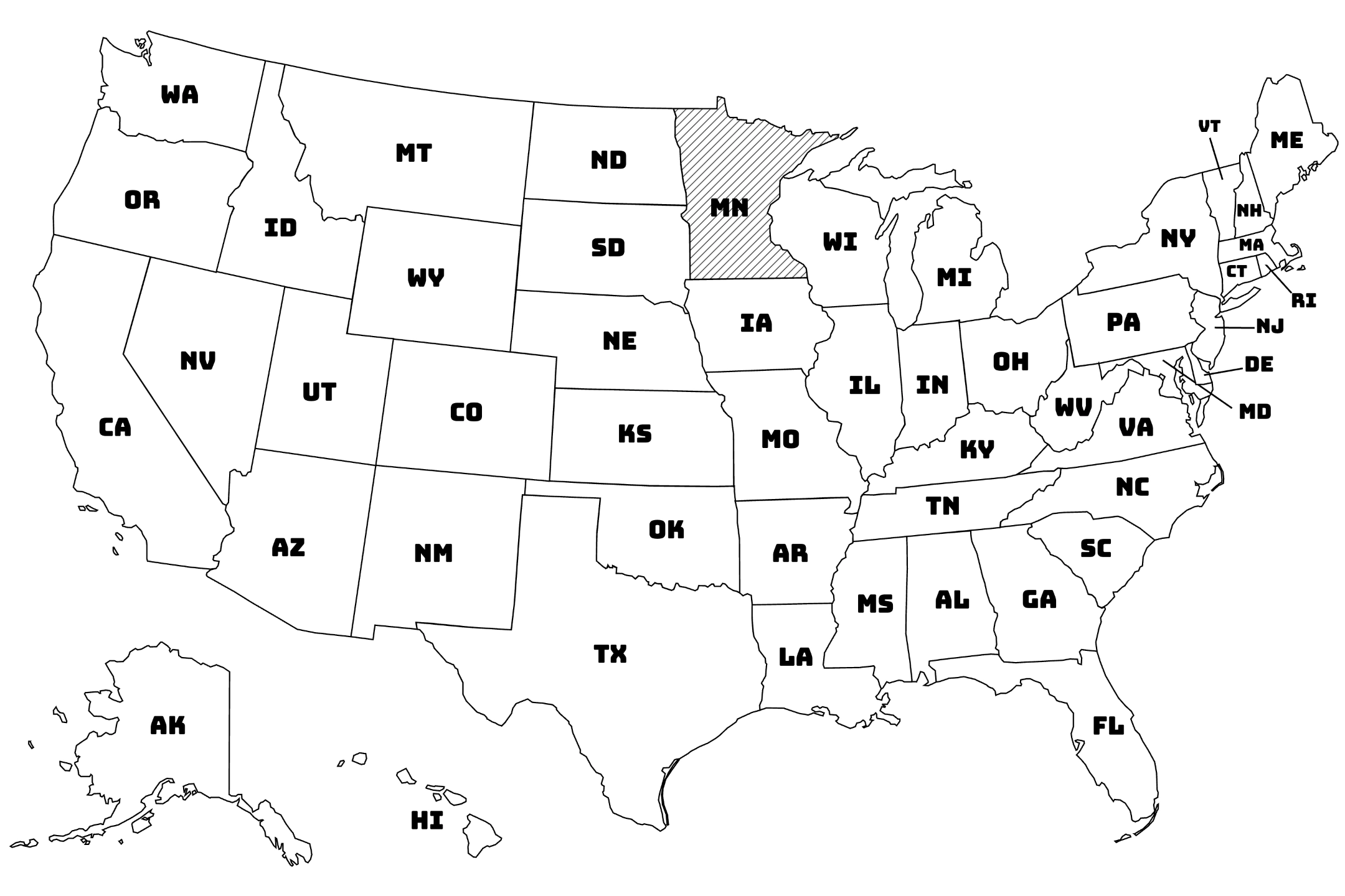
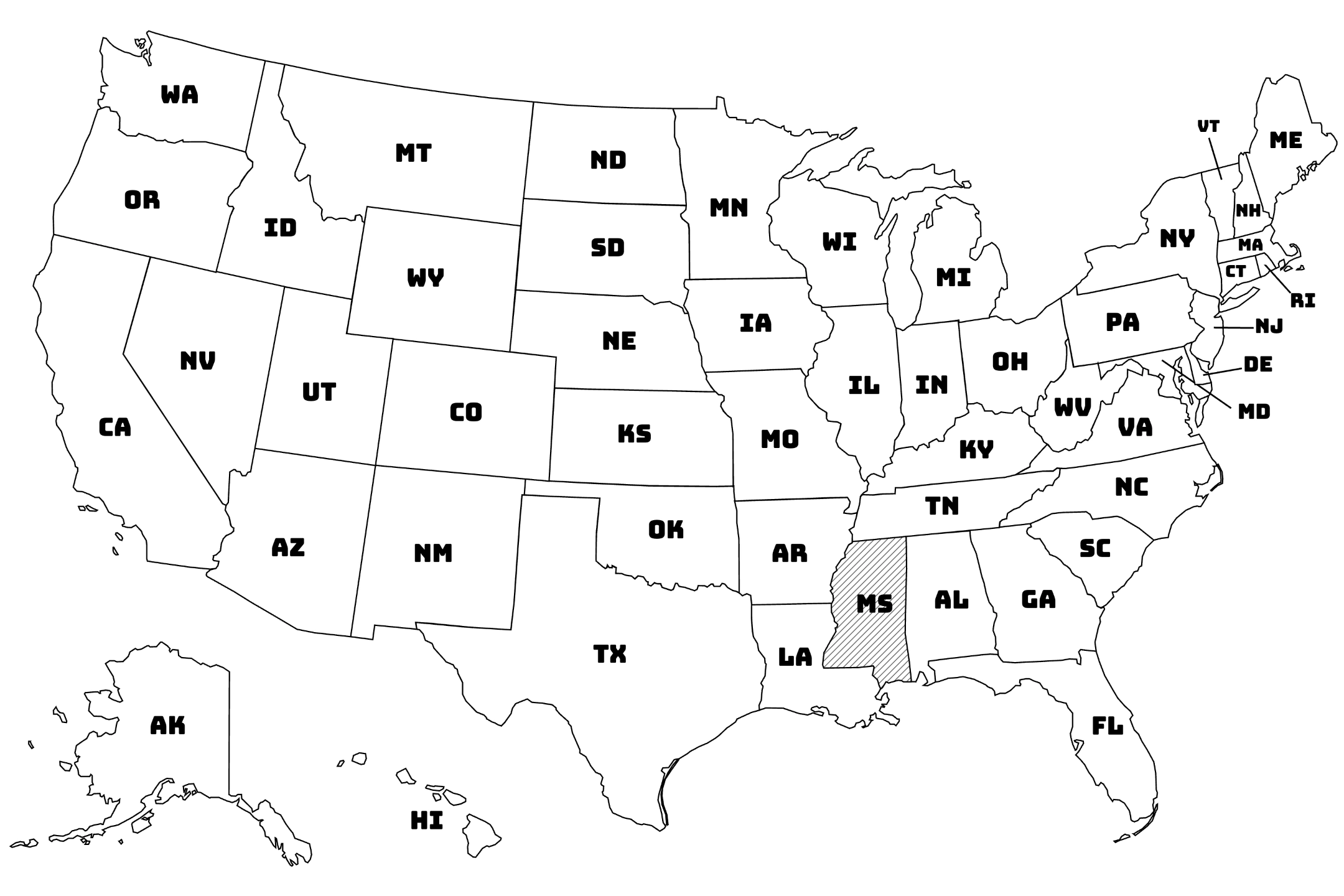
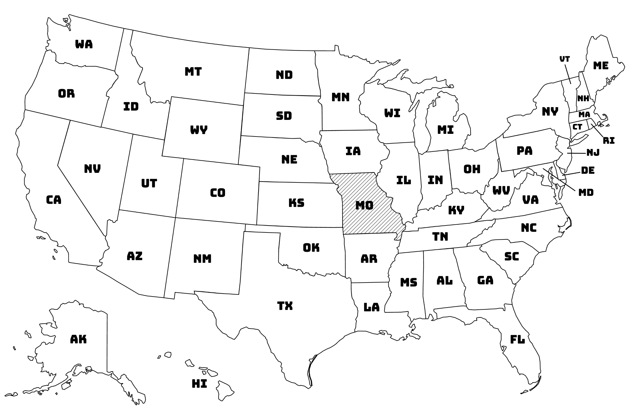
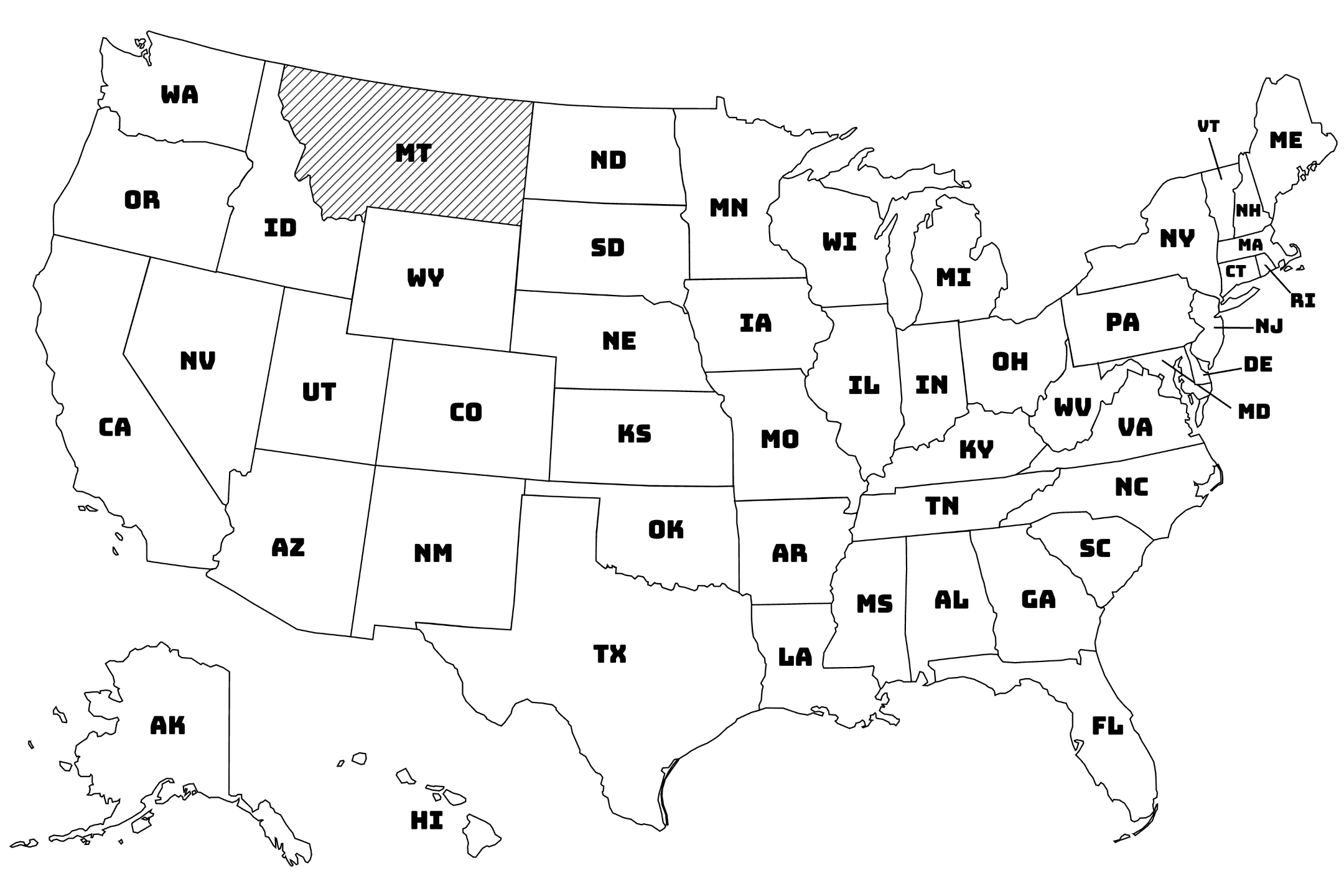
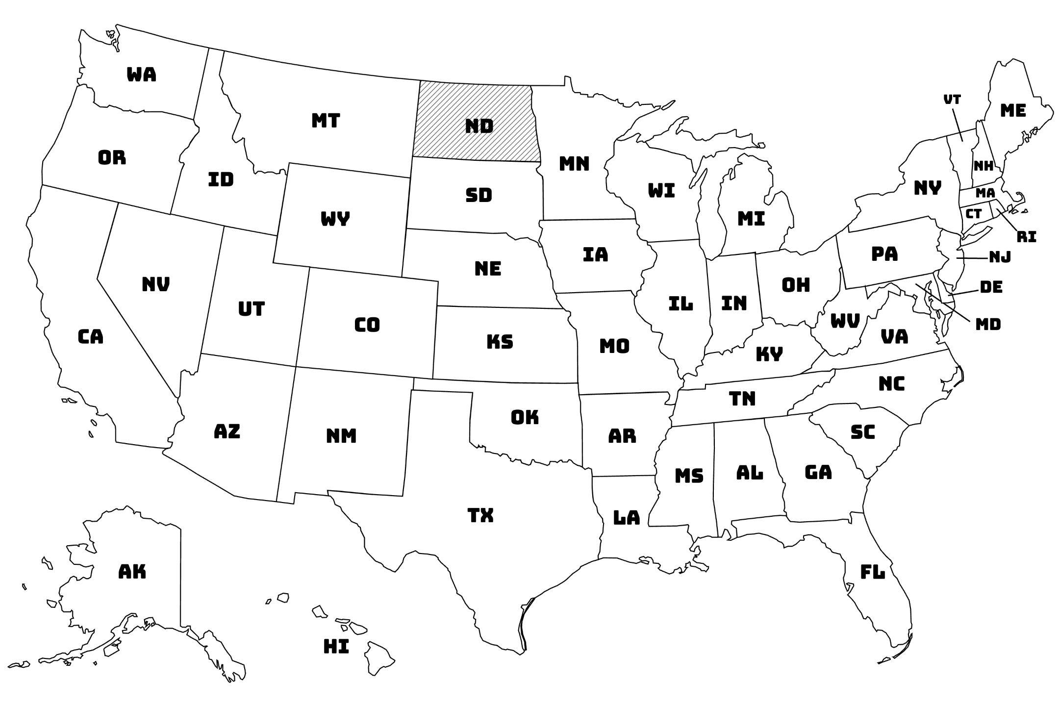
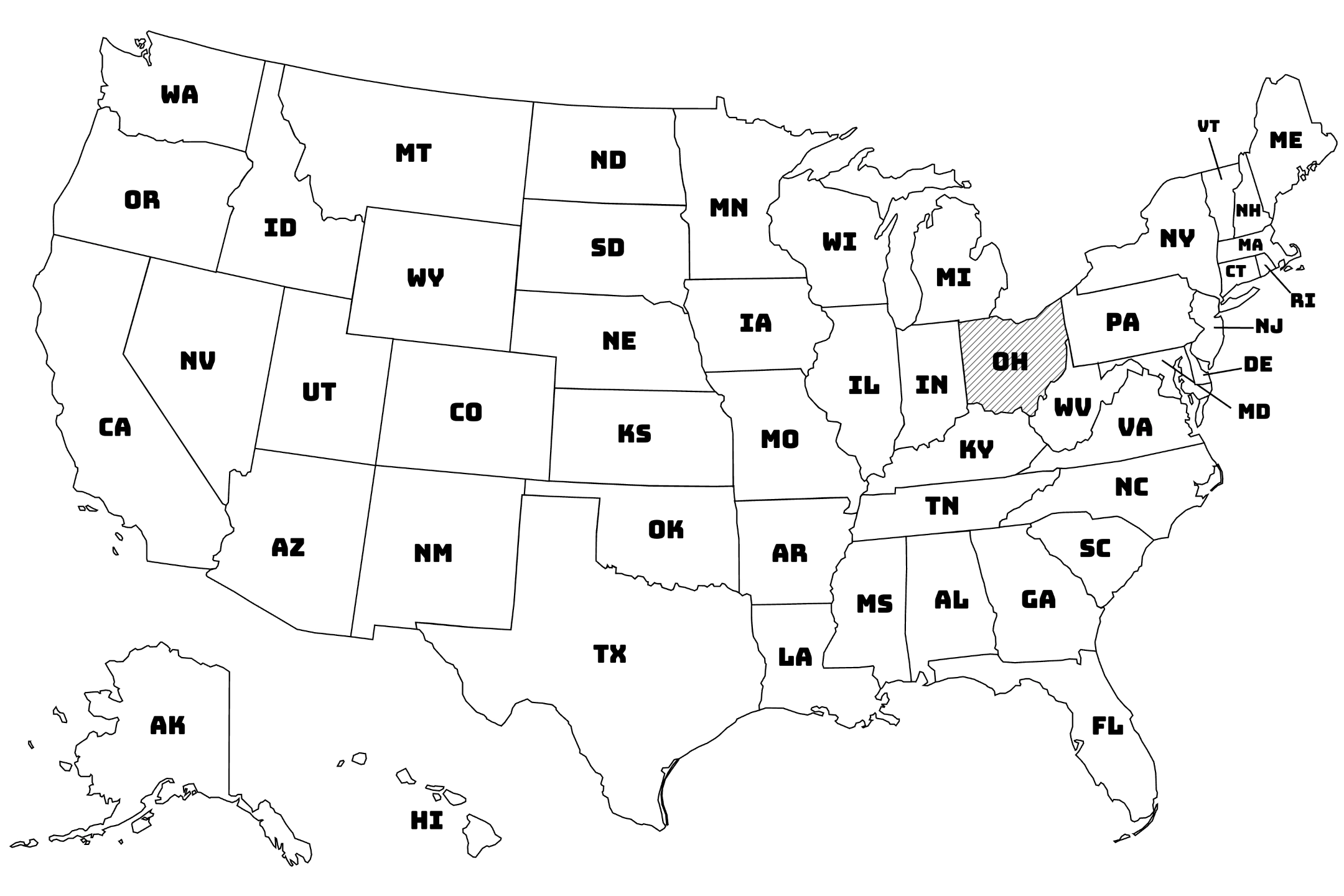
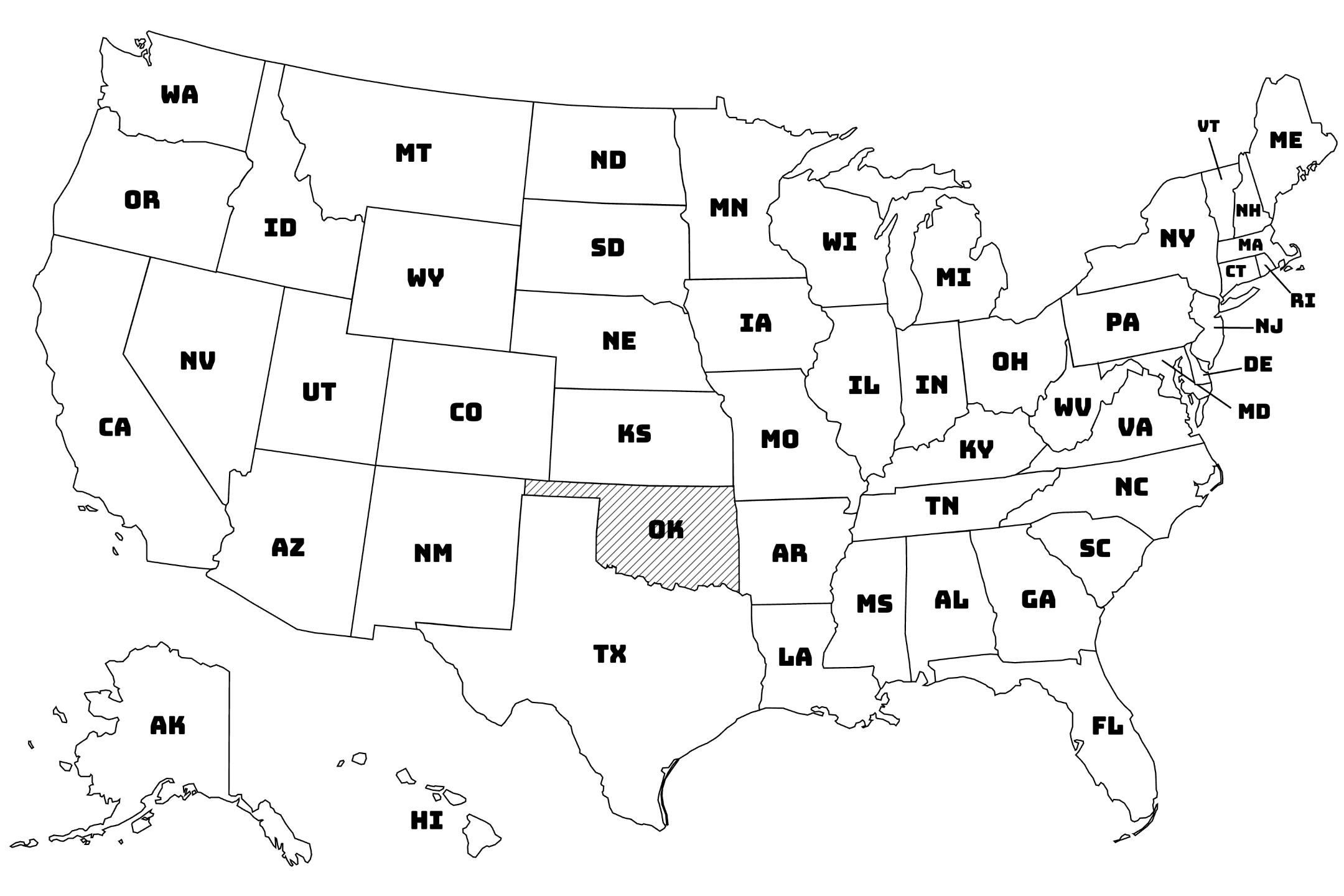
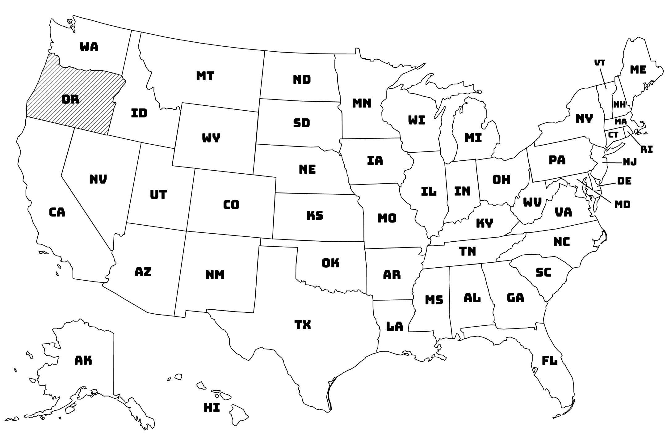
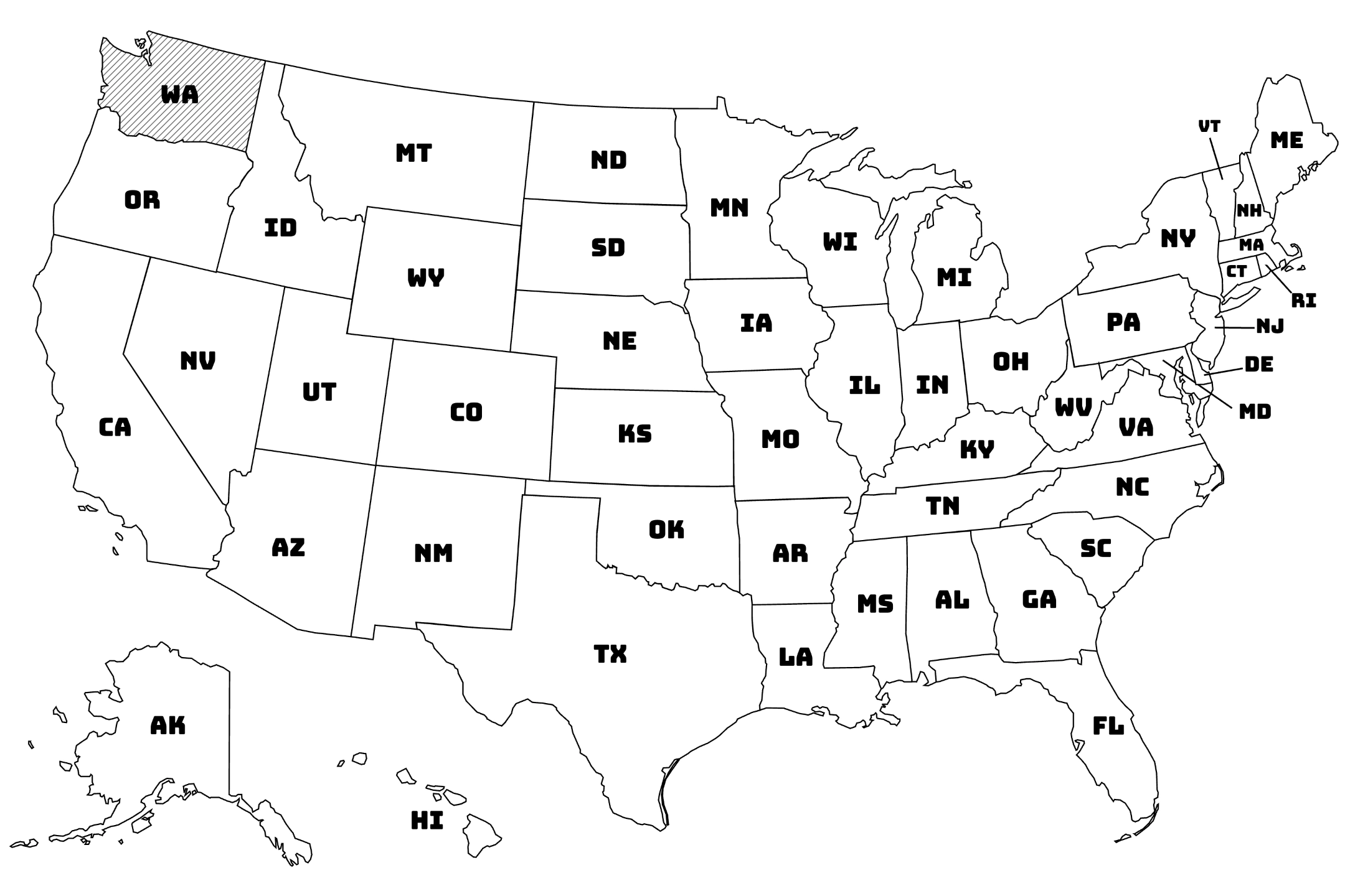
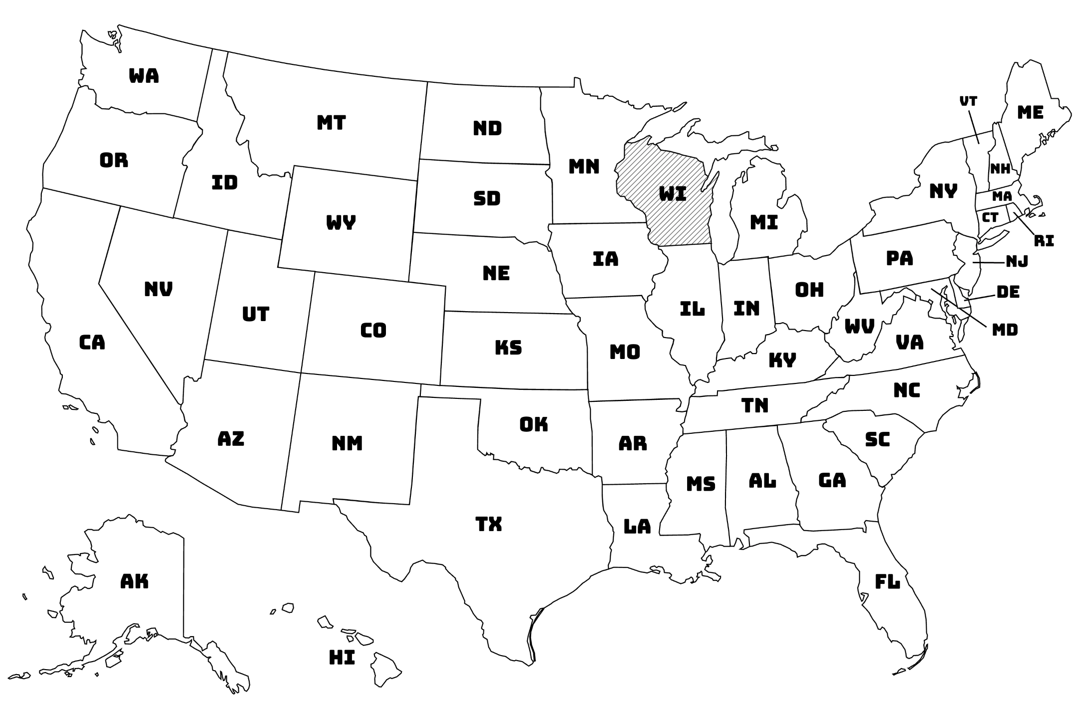
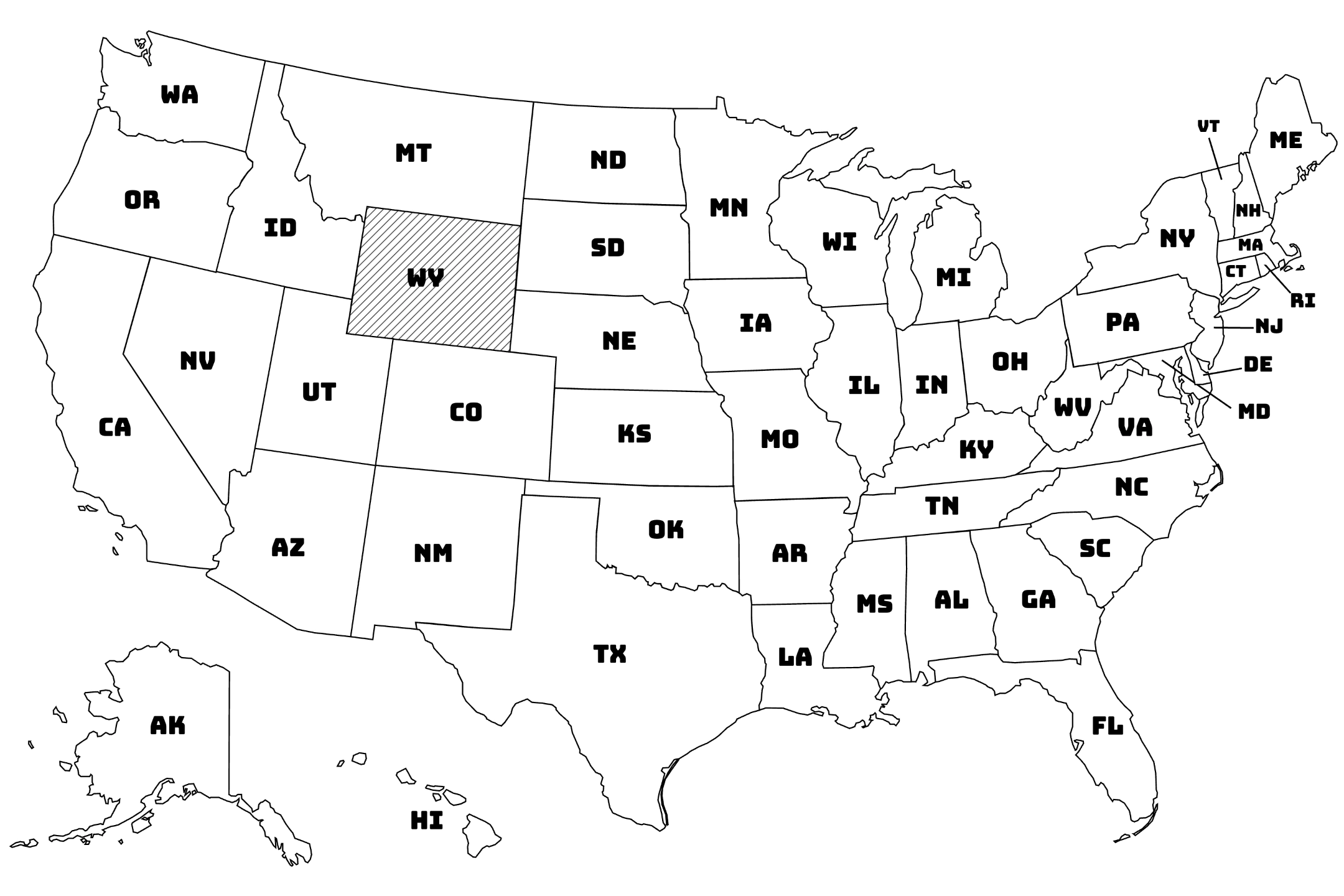
- USA State Maps: Complete collection of all 50 American states with cities, landmarks, and regional details
- Continental Maps: Comprehensive maps covering entire continents and major geographic regions
- World Maps: Global overview maps showing countries, oceans, and major geographic landmarks
- Regional Maps: Focused maps of specific geographic areas and territories
Educational Value and Geographic Learning
Maps serve as essential educational tools that support geographic literacy, cultural awareness, and spatial understanding crucial for academic success and global citizenship.
Our map collection helps users to:
- Develop geographic knowledge and spatial awareness of world regions and locations
- Learn country and state locations with accurate political boundaries and major cities
- Understand cultural diversity and global connections between different regions
- Support social studies education with reliable reference materials for assignments and projects
- Enhance travel planning and geographic orientation for personal and educational purposes
- Build map reading skills essential for navigation and geographic literacy
Versatile Learning Applications
Our printable maps serve multiple educational and practical purposes across various settings and learning objectives, making them valuable resources for diverse audiences and applications.
These maps provide excellent support for:
- Classroom instruction in geography, social studies, and world cultures curricula
- Homeschooling education requiring comprehensive geographic reference materials
- Research projects needing accurate geographic information and visual aids
- Travel preparation and destination research for educational or personal trips
- Cultural studies exploring global diversity and international connections
- Current events education providing geographic context for world news and international affairs
High-Quality Cartographic Design
Every map in our collection features accurate, professionally designed cartography with clear labeling, appropriate scale, and detailed geographic information. Our maps are optimized for printing with crisp lines, readable text, and comprehensive coverage that ensures educational accuracy and usability.
Whether you're teaching world geography, planning educational activities, researching specific regions, or simply exploring the world through maps, our Maps category provides reliable, comprehensive, and educationally valuable resources that make geographic learning accessible, engaging, and globally connected.