Oklahoma Map

Learn about the Great Plains and Native American heritage with these Oklahoma map, offering readers an engaging way to explore this diverse U.S. state. These sheets develop geographic knowledge, observation skills, and cultural awareness.

The set is provided as a high-quality PDF, ready to print on A4 paper for home learning, classroom assignments, or themed activities. The designs also pair well with a light-up tracing pad.

Part of the Maps collection, Last updated on Fri, 30 May 2025 03:17:27 GMT.

Free Printables

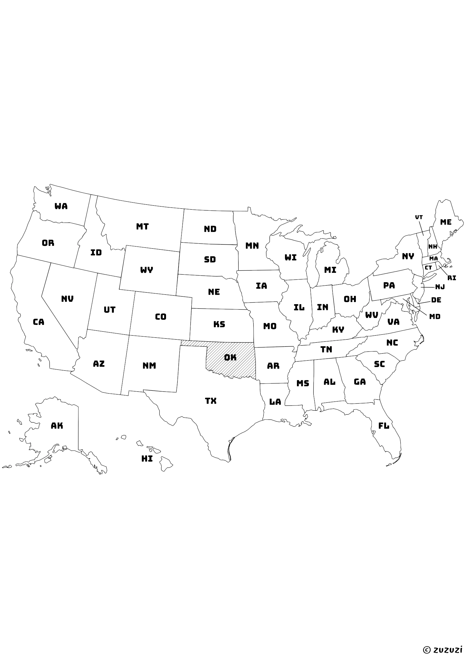
US Map with Oklahoma Shaded and State Names

Black-and-white map of the United States with Oklahoma highlighted using diagonal shading. Each state is labeled with its official two-letter abbreviation.
Black-and-white map of the United States with Oklahoma highlighted using diagonal shading. Each state is labeled with its official two-letter abbreviation. | zuzuzi.com

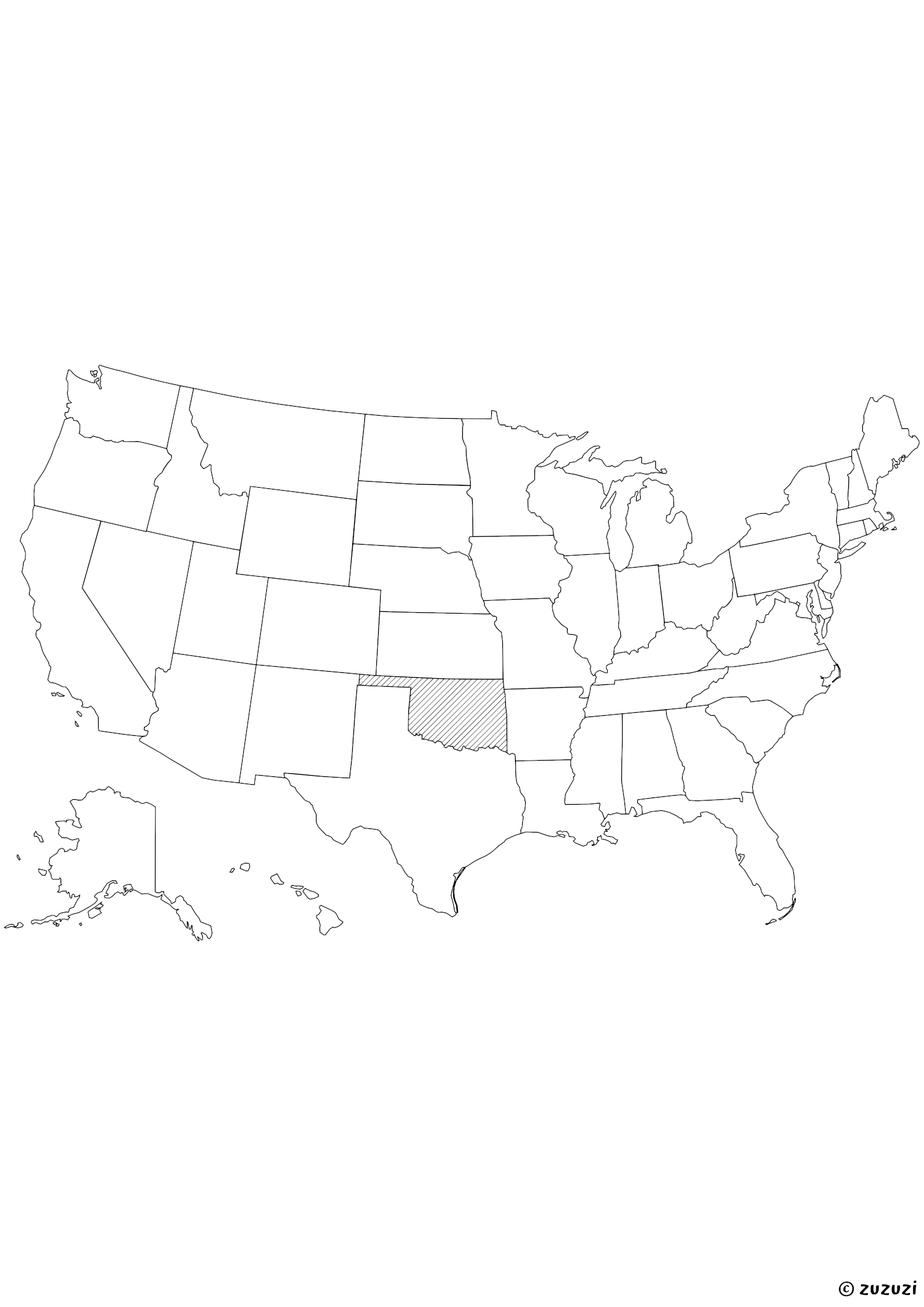
US Map with Oklahoma Shaded

Black-and-white map of the United States with Oklahoma highlighted using diagonal shading.
Black-and-white map of the United States with Oklahoma highlighted using diagonal shading. | zuzuzi.com

What is Oklahoma?

Oklahoma is a state in the south-central United States. It borders Texas to the south and west, Kansas to the north, Missouri to the northeast, Arkansas to the east, Colorado to the northwest, and New Mexico at the western tip of the panhandle. The capital and largest city is Oklahoma City.

Oklahoma is known for its Native American heritage, tornado-prone weather, and oil industry. The state flower is the Oklahoma rose, and the state bird is the scissor-tailed flycatcher. Oklahoma has a population of over 4 million (as of July 2024).

How to say Oklahoma in different languages?

  • English: Oklahoma
  • French: Oklahoma
  • Spanish: Oklahoma
  • Arabic: أوكلاهوما
  • German: Oklahoma
  • Chinese: 俄克拉何马州
  • Japanese: オクラホマ州
  • Korean: 오클라호마
  • Portuguese: Oklahoma
  • Italian: Oklahoma
  • Hindi: ओक्लाहोमा
  • Russian: Оклахома
  • Turkish: Oklahoma

References

Reliable sources have been used to write and refine this content.

Frequently Asked Questions

Why aren’t Alaska and Hawaii in their real location on the map?

On this map, Alaska and Hawaii have been moved to keep all the states together in one compact image. In reality, Alaska is far to the northwest of the continent, above Canada, and Hawaii is in the middle of the Pacific Ocean, far from California. This repositioning is a common layout trick to make the map easier to read.

Are these maps ideal for coloring?

Yes, these maps use black borders only with no fill background, making them perfect for coloring activities with crayons or markers.

What materials do I need to use these maps?

Just print them and use crayons, colored pencils, or markers. Lamination and dry-erase markers can make them reusable.