Pennsylvania Map Coloring Pages

Travel through one of America’s most historically rich states with these Pennsylvania map coloring pages that introduce kids to key cities, borders, and geographic features. Made for children aged 3 to 12, these sheets build knowledge of U.S. geography, improve focus, and encourage cultural curiosity.

This set comes in a high quality PDF format, perfect for printing on A4 paper at home, for school projects, or historical studies. Each page is also excellent for tracing pad use.

Evaluated as very easy by the Zuzuzi team, this well-rounded collection is ideal for curious kids who love American history and regional exploration.

Part of the Maps Coloring Pages collection, By Zuzuzi Team, Last updated on Mon, 12 May 2025 11:07:38 GMT.

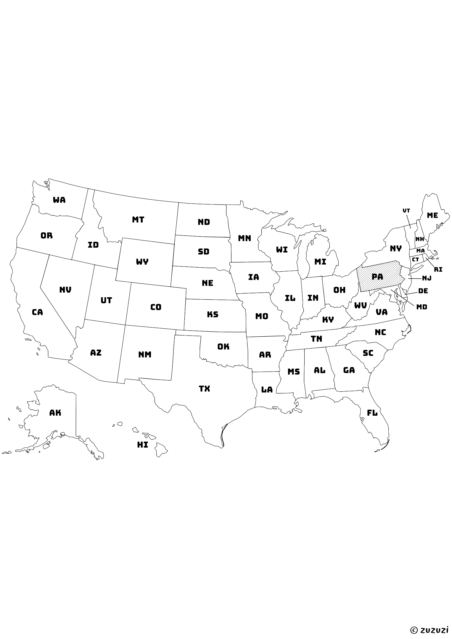
Map of the United States with Pennsylvania highlighted using diagonal shading. Pin it
Map of the United States with Pennsylvania highlighted using diagonal shading. | zuzuzi.com

Get Your Free Printables (1 PDFs)

Discover a free collection of printable A4 files. Each resource includes download options in high-quality PDF, SVG, and image formats. For the best results on A4 paper, we highly recommend using the PDF version for clean, professional-quality printing.

Shaded Pennsylvania State Map Coloring Page

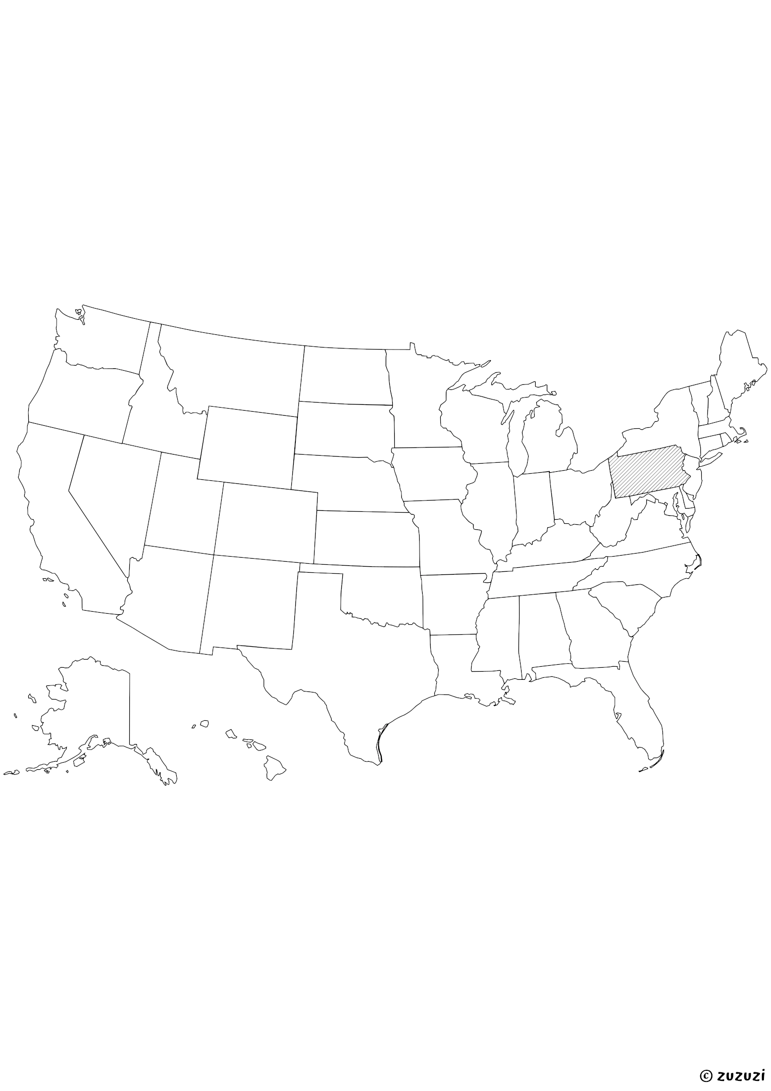
Black-and-white map of the United States with Pennsylvania highlighted using diagonal shading. Clean line art without background.
Black-and-white map of the United States with Pennsylvania highlighted using diagonal shading. Clean line art without background. | zuzuzi.com

Coloring ideas for Pennsylvania Maps

Use forest green and gray to reflect Pennsylvania’s mix of mountains and cities, and add blue for rivers like the Delaware and Allegheny. Highlight cities like Philadelphia, Pittsburgh, and Harrisburg in bright colors, and decorate the map with drawings of the Liberty Bell, trains, or forest animals to reflect its heritage and nature. You can also label nearby states or add a compass rose for extra learning fun!

On the back of the page, why not write a few fun facts about Pennsylvania, add drawings of what it's famous for, or create your own colorful version using your imagination?

What is Pennsylvania?

Pennsylvania is a northeastern U.S. state located in the Mid-Atlantic region. It borders New York to the north, New Jersey to the east, Delaware and Maryland to the southeast and south, West Virginia to the southwest, and Ohio to the west. The capital is Harrisburg, while the largest cities include Philadelphia and Pittsburgh.

Pennsylvania is known for its historic landmarks, such as Independence Hall, as well as its forests, farmlands, and rivers. The state flower is the mountain laurel, and the state bird is the ruffed grouse. Pennsylvania has a population of over 13 million (as of July 2024).

Pennsylvania in different languages

  • English: Pennsylvania
  • French: Pennsylvanie
  • Spanish: Pensilvania
  • Arabic: بنسلفانيا (Bansilfānyā)
  • German: Pennsylvania
  • Chinese: 宾夕法尼亚州 (Bīnxīfǎníyà Zhōu)
  • Japanese: ペンシルベニア州 (Penshirubenia-shū)
  • Korean: 펜실베이니아 (Pensilbeinia)
  • Portuguese: Pensilvânia
  • Italian: Pennsylvania
  • Hindi: पेंसिल्वेनिया (Pensilveniyā)
  • Russian: Пенсильвания (Pensilvaniya)
  • Turkish: Pensilvanya

Frequently Asked Questions

→ Why aren’t Alaska and Hawaii in their real location on the map?

On this map, Alaska and Hawaii have been moved to keep all the states together in one compact image. In reality, Alaska is far to the northwest of the continent, above Canada, and Hawaii is in the middle of the Pacific Ocean, far from California. This repositioning is a common layout trick to make the map easier to read.

→ Are these maps ideal for coloring?

Yes, these maps use black borders only with no fill background, making them perfect for coloring activities with crayons or markers.

→ Are these maps good for school projects?

Yes! The printable state maps can be used in classrooms, geography assignments, or homeschooling lessons.

→ What materials do I need to use these maps?

Just print them and use crayons, colored pencils, or markers. Lamination and dry-erase markers can make them reusable.

→ Can I resize or adjust these printables before printing?

Yes, you can change the scale or fit settings in your printer options to make the printables smaller or larger as needed. This works for coloring pages, mazes, sudoku, worksheets, and more.

→ How can I print these printables?

Click on the download PDF button to save the file to your device. Open it using a web browser or PDF viewer like Adobe Acrobat Reader. Then, click the print icon or use the shortcut (usually Ctrl+P or Cmd+P), choose your printer, adjust settings (orientation, margins, number of copies, etc.), and print.

→ Why is there still a margin even when I selected full page with 0 margins?

This may happen if your printer doesn’t support borderless printing. Many home printers add a small automatic margin. To fix this, check if your printer allows borderless printing or adjust the layout to fit inside the printable area.

References

Reliable sources have been used to write and refine this content.
  • https://kids.britannica.com/kids/article/Pennsylvania/345516
  • https://kids.nationalgeographic.com/geography/states/article/pennsylvania
  • https://www.census.gov/quickfacts/fact/table/pa