Get Your Free Printables (1 PDFs)
Discover a free collection of printable A4 files. Each resource includes download options in high-quality PDF, SVG, and image formats. For the best results on A4 paper, we highly recommend using the PDF version for clean, professional-quality printing.
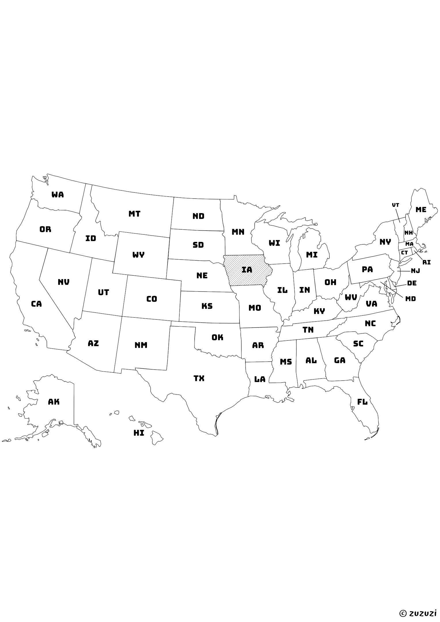
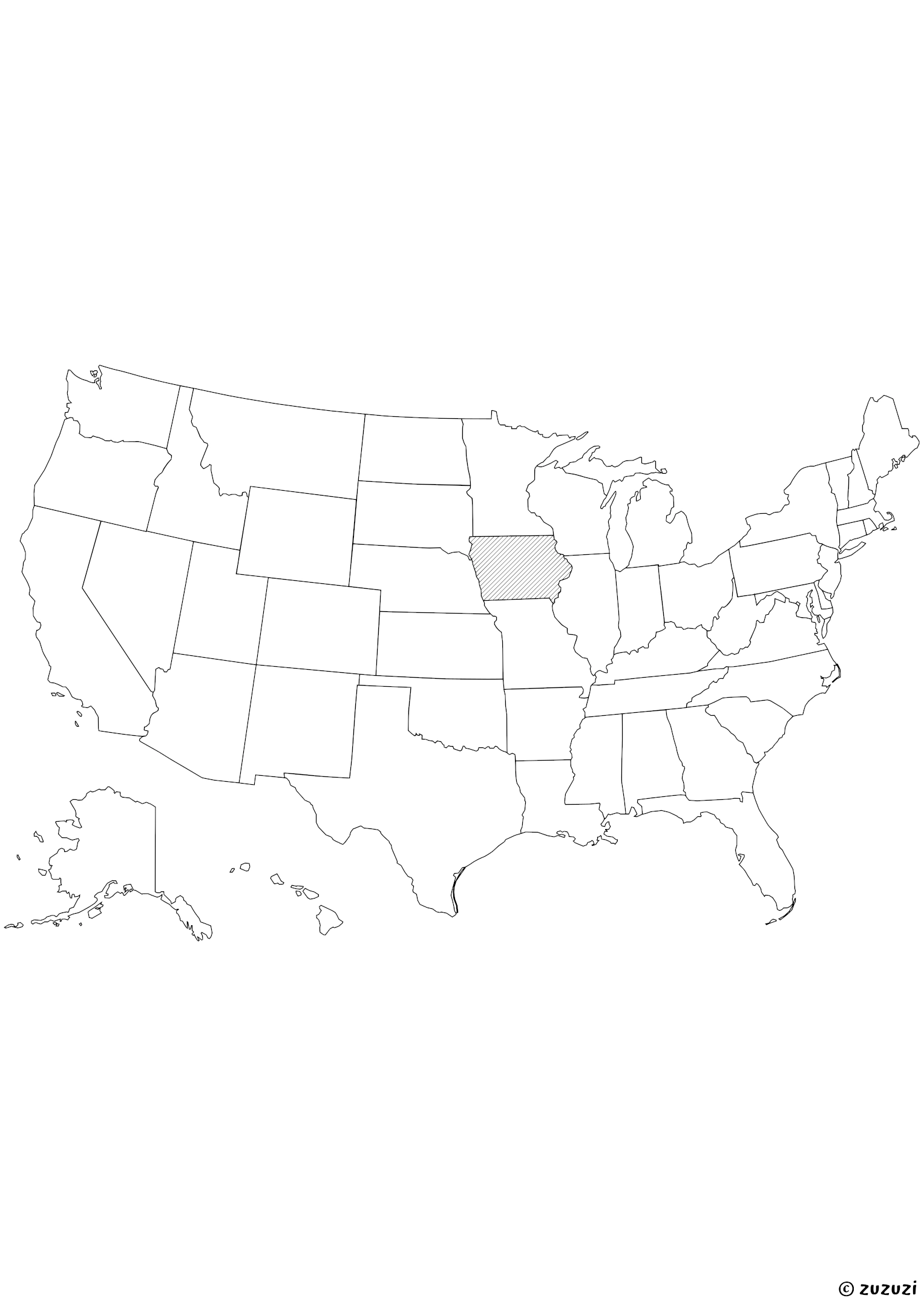
Shaded Iowa State Map Coloring Page
Coloring ideas for Iowa Maps
Color Iowa’s farmlands in soft greens and golden yellows to represent cornfields and soybean crops. Highlight the Mississippi River along the eastern edge in light blue. Add small farm-themed icons like barns, windmills, or tractors to fill in the blank areas creatively.
You can also mark cities like Des Moines and Cedar Rapids with colorful dots, or write town names directly in the open spaces to practice labeling.
What is Iowa?
Iowa is a state in the Midwestern United States, bordered by Minnesota, Wisconsin, Illinois, Missouri, Nebraska, and South Dakota. Its capital and largest city is Des Moines, known for its role in politics, insurance, and agriculture-related industries.
The state is covered in rolling plains and rich farmland, with the Mississippi River forming its eastern border and the Missouri River to the west. Iowa is a national leader in corn, soybeans, pork, and egg production, and is often seen as the heart of rural America.
The state population is approximately 3.2 million (as of July 2024).
Iowa in different languages
- English: Iowa
- French: Iowa
- Spanish: Iowa
- Arabic: آيوا (Āywā)
- German: Iowa
- Chinese: 爱荷华州 (Àihéhuá Zhōu)
- Japanese: アイオワ州 (Aiowa-shū)
- Korean: 아이오와 (Aiowa)
- Portuguese: Iowa
- Italian: Iowa
- Hindi: आयोवा (Āyovā)
- Russian: Айова (Ayova)
- Turkish: Iowa
Frequently Asked Questions
- → Why aren’t Alaska and Hawaii in their real location on the map?
On this map, Alaska and Hawaii have been moved to keep all the states together in one compact image. In reality, Alaska is far to the northwest of the continent, above Canada, and Hawaii is in the middle of the Pacific Ocean, far from California. This repositioning is a common layout trick to make the map easier to read.
- → Are these maps ideal for coloring?
Yes, these maps use black borders only with no fill background, making them perfect for coloring activities with crayons or markers.
- → Are these maps good for school projects?
Yes! The printable state maps can be used in classrooms, geography assignments, or homeschooling lessons.
- → What materials do I need to use these maps?
Just print them and use crayons, colored pencils, or markers. Lamination and dry-erase markers can make them reusable.
- → Can I resize or adjust these printables before printing?
Yes, you can change the scale or fit settings in your printer options to make the printables smaller or larger as needed. This works for coloring pages, mazes, sudoku, worksheets, and more.
- → How can I print these printables?
Click on the download PDF button to save the file to your device. Open it using a web browser or PDF viewer like Adobe Acrobat Reader. Then, click the print icon or use the shortcut (usually Ctrl+P or Cmd+P), choose your printer, adjust settings (orientation, margins, number of copies, etc.), and print.
- → Why is there still a margin even when I selected full page with 0 margins?
This may happen if your printer doesn’t support borderless printing. Many home printers add a small automatic margin. To fix this, check if your printer allows borderless printing or adjust the layout to fit inside the printable area.
References
Reliable sources have been used to write and refine this content.
- https://kids.britannica.com/kids/article/Iowa/345483
- https://kids.nationalgeographic.com/geography/states/article/iowa
- https://www.census.gov/quickfacts/fact/table/ia