Illinois Map

Explore the Land of Lincoln with these Illinois map that feature rivers, cities, and the iconic state shape. These pages help develop map-reading skills, focus, and an appreciation for U.S. geography.

Each printable is delivered in a high-quality PDF, perfect for A4 printing and great for use with light-up tracing pads at home or school.

Part of the Maps collection, Last updated on Fri, 30 May 2025 01:46:48 GMT.

Free Printables

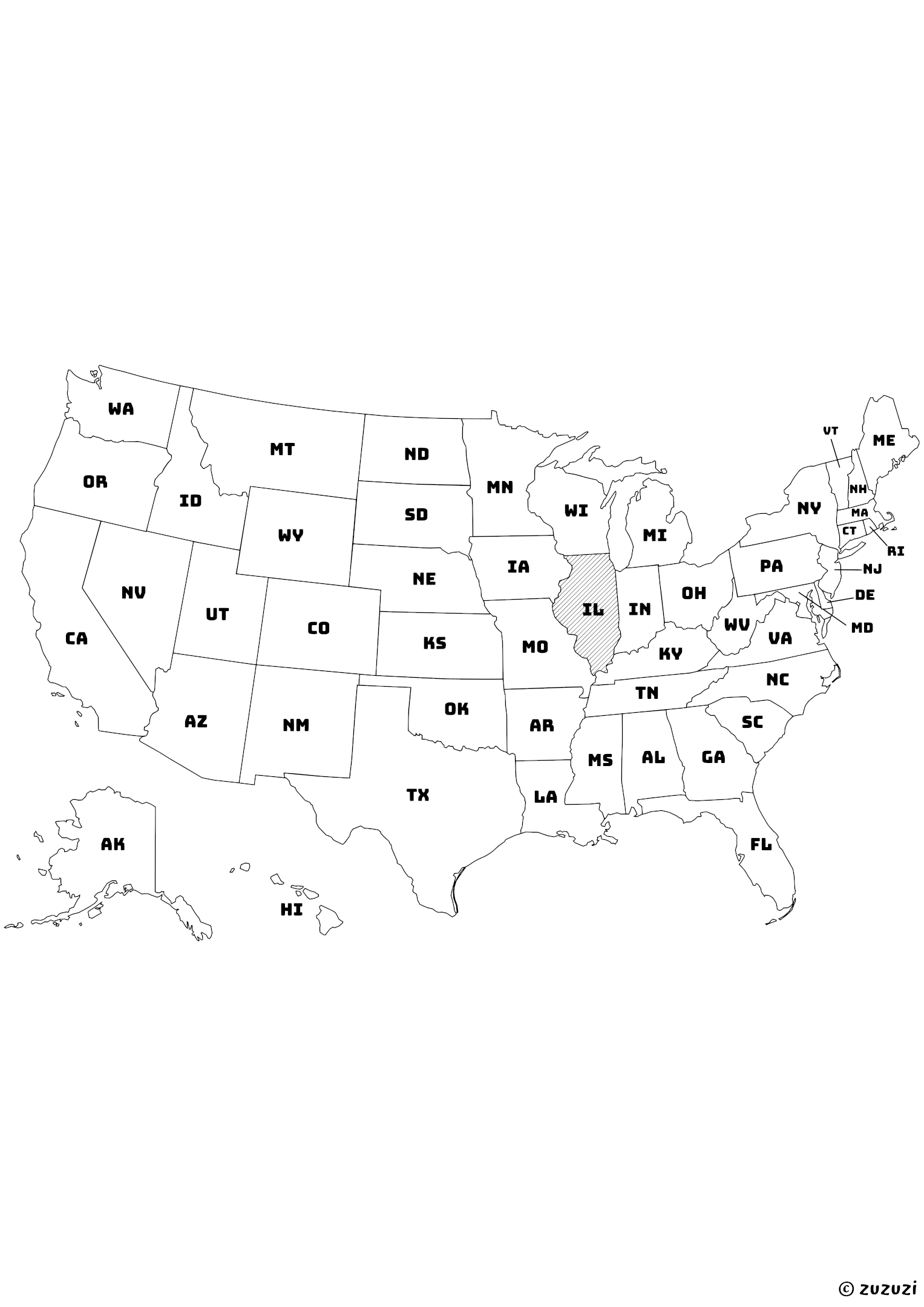
US Map with Illinois Shaded and State Names

Black-and-white map of the United States with Illinois highlighted using diagonal shading. Each state is labeled with its official two-letter abbreviation.
Black-and-white map of the United States with Illinois highlighted using diagonal shading. Each state is labeled with its official two-letter abbreviation. | zuzuzi.com

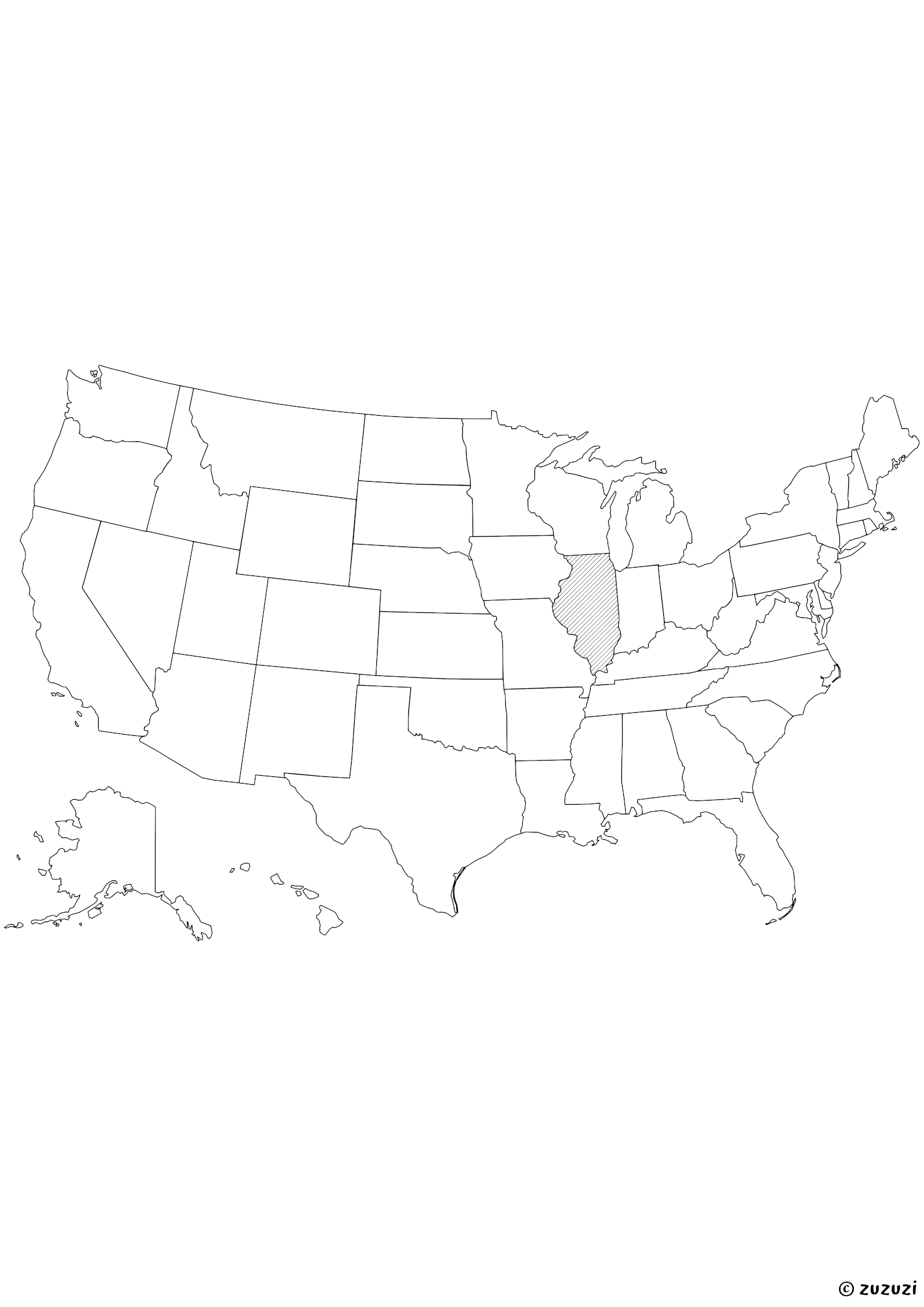
US Map with Illinois Shaded

Black-and-white map of the United States with Illinois highlighted using diagonal shading.
Black-and-white map of the United States with Illinois highlighted using diagonal shading. | zuzuzi.com

What is Illinois?

Illinois is a state in the Midwestern United States, bordered by Wisconsin to the north, Iowa and Missouri to the west, Kentucky to the south, and Indiana to the east. The Mississippi River runs along its western edge. The capital is Springfield, while Chicago is its largest city and one of the biggest in the country.

Illinois is known for its farmland, historic railways, and towering skyscrapers. It is also famous for Abraham Lincoln, deep-dish pizza, and Lake Michigan. The state flower is the violet, and the state bird is the northern cardinal. Illinois has a population of over 12.7 million (as of July 2024).

How to say Illinois in different languages?

  • English: Illinois
  • French: Illinois
  • Spanish: Illinois
  • Arabic: إلينوي
  • German: Illinois
  • Chinese: 伊利诺伊州
  • Japanese: イリノイ州
  • Korean: 일리노이
  • Portuguese: Illinois
  • Italian: Illinois
  • Hindi: इलिनॉय
  • Russian: Иллинойс
  • Turkish: Illinois

References

Reliable sources have been used to write and refine this content.

Frequently Asked Questions

Why aren’t Alaska and Hawaii in their real location on the map?

On this map, Alaska and Hawaii have been moved to keep all the states together in one compact image. In reality, Alaska is far to the northwest of the continent, above Canada, and Hawaii is in the middle of the Pacific Ocean, far from California. This repositioning is a common layout trick to make the map easier to read.

Are these maps ideal for coloring?

Yes, these maps use black borders only with no fill background, making them perfect for coloring activities with crayons or markers.

What materials do I need to use these maps?

Just print them and use crayons, colored pencils, or markers. Lamination and dry-erase markers can make them reusable.