All Printables - Page 11

Explore our full collection of printables! Whether you're into simple designs or detailed projects, you'll find something fun and useful to download and print.

368 results in this collection. Page 11 of 18

Free Printables

Map of the United States with Iowa highlighted using diagonal shading.
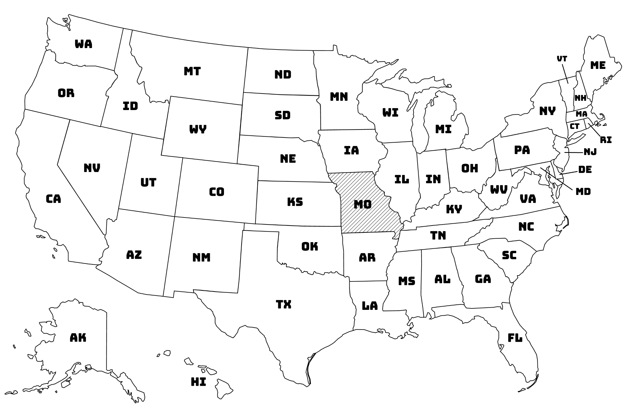
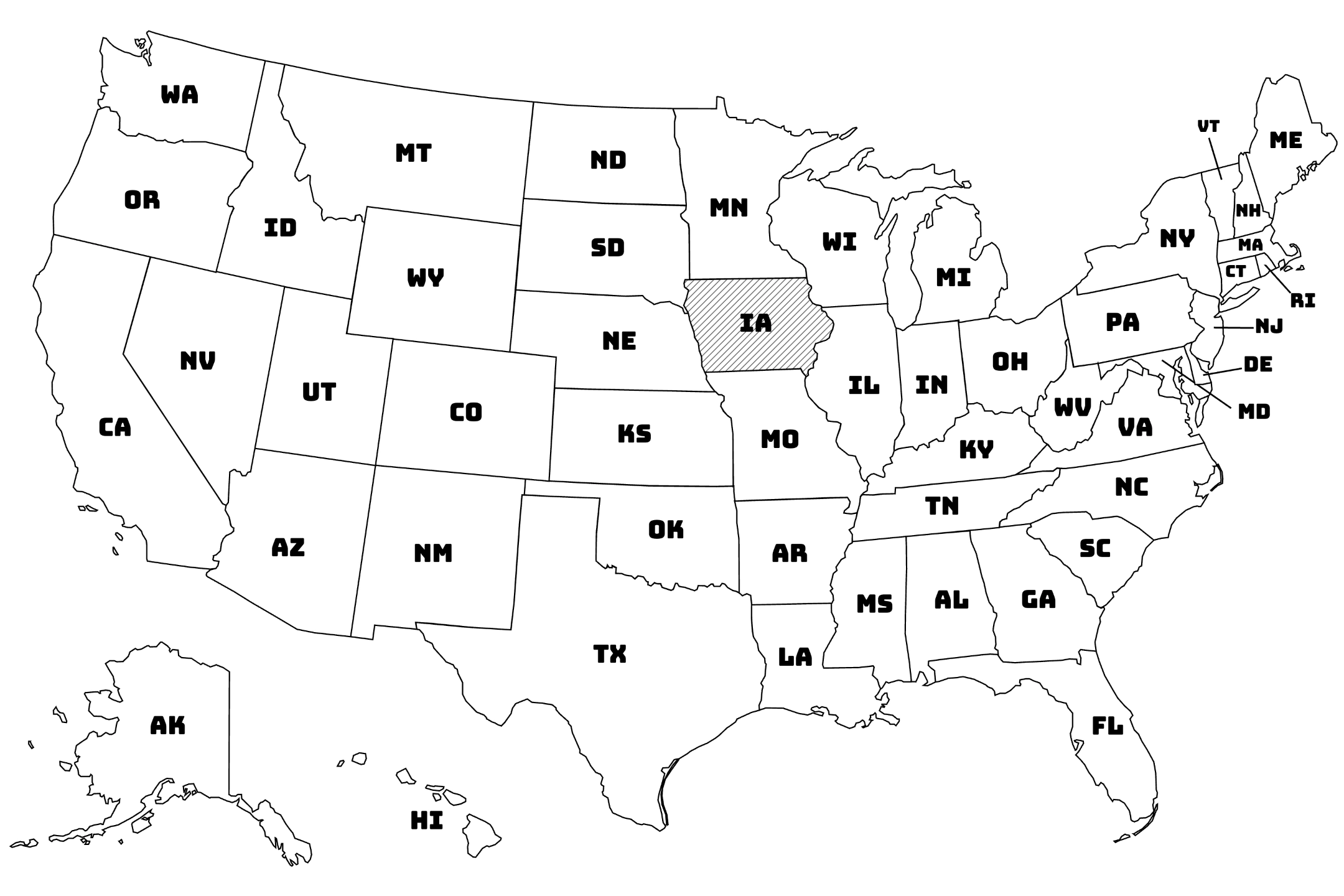
Iowa (IA) (2 Printables)

A unique set of Iowa map in black outline, featuring different formats such as unlabeled maps, city markers, and basic geography prompts. Perfect for coloring practice, map skills, or creative classroom use.

Map of the United States with Kansas highlighted using diagonal shading.
Kansas (KS) (2 Printables)

A creative selection of Kansas map featuring blank outlines, labeled cities, and educational prompts. Great for reinforcing U.S. geography knowledge through coloring and map-based learning.

Map of the United States with Kentucky highlighted using diagonal shading.
Kentucky (KY) (2 Printables)

A colorful mix of Kentucky map showing borders, cities, and state features in clean outlines. Great for practicing geography through coloring, labeling, or school activities.

Map of the United States with Louisiana highlighted using diagonal shading.
Louisiana (LA) (2 Printables)

A lively collection of Louisiana map with black outlines, including blank state shapes, city names, and unique geographic features. Perfect for combining coloring fun with learning about this culturally rich state.

Map of the United States with Maryland highlighted using diagonal shading.
Maryland (MD) (2 Printables)

A detailed set of Maryland map featuring the state’s coastal shape, city names, and outline maps in black and white. An excellent tool for hands-on geography learning at home or in class.

Map of the United States with Massachusetts highlighted using diagonal shading.
Massachusetts (MA) (2 Printables)

A rich collection of Massachusetts map with detailed coastlines, major cities, and clean black outlines. Great for school geography lessons or creative learning at home.

Map of the United States with Michigan highlighted using diagonal shading.
Michigan (MI) (2 Printables)

A creative collection of Michigan map showing both peninsulas, Great Lakes borders, and city names in black outline. Perfect for combining art and geography in an educational way.

Map of the United States with Minnesota highlighted using diagonal shading.
Minnesota (MN) (2 Printables)

A versatile collection of Minnesota map featuring the state’s lakes, northern border, and key cities in clean black outline. Great for hands-on learning through labeling and coloring.

Map of the United States with Mississippi highlighted using diagonal shading.
Mississippi (MS) (2 Printables)

An engaging set of Mississippi map featuring the state’s borders, cities, and river routes in black outline. A perfect printable resource for learning U.S. geography through creative activities.

Map of the United States with Missouri highlighted using diagonal shading.
Missouri (MO) (2 Printables)

A practical set of Missouri map featuring black outlines of state borders, city labels, and major rivers. Great for U.S. geography review, map labeling, or art-based learning at home or school.

Map of the United States with Nebraska highlighted using diagonal shading.
Nebraska (NE) (2 Printables)

A helpful collection of Nebraska map with clear black outlines, city names, and blank templates. Great for practicing U.S. geography through art and labeling exercises.

Map of the United States with North Carolina highlighted using diagonal shading.
North Carolina (NC) (2 Printables)

A colorful variety of North Carolina map featuring clear black outlines, major cities, and coastal borders. Ideal for learning about geography through fun printable activities.

Map of the United States with North Dakota highlighted using diagonal shading.
North Dakota (ND) (2 Printables)

A focused collection of North Dakota map with clear black outlines, major cities, and blank map versions. Ideal for learning about U.S. states through art and geography activities.

Map of the United States with Ohio highlighted using diagonal shading.
Ohio (OH) (2 Printables)

A flexible set of Ohio map showing borders, cities, and the Lake Erie shoreline in black outline. Great for creative U.S. geography learning at home or in class.

Map of the United States with Oklahoma highlighted using diagonal shading.
Oklahoma (OK) (2 Printables)

A set of Oklahoma map showing the state’s distinctive panhandle shape, major cities, and clear black outlines. A great tool for students learning U.S. geography through art and practice.

Map of the United States with Pennsylvania highlighted using diagonal shading.
Pennsylvania (PA) (2 Printables)

A fun selection of Pennsylvania map with black outlines, key cities, and state borders. Excellent for learning U.S. geography with a creative and hands-on approach.

Map of the United States with Rhode Island highlighted using diagonal shading.
Rhode Island (RI) (2 Printables)

A compact and creative set of Rhode Island map featuring black outlines, city markers, and coastal borders. Perfect for learning U.S. geography through small-scale map activities.

Map of the United States with South Carolina highlighted using diagonal shading.
South Carolina (SC) (2 Printables)

A creative collection of South Carolina map showing black outlines, labeled cities, and coastal borders. A great printable tool for geography learning and classroom fun.

Map of the United States with South Dakota highlighted using diagonal shading.
South Dakota (SD) (2 Printables)

A practical set of South Dakota map showing black outlines, city labels, and blank versions. Great for learning U.S. geography through map-based creativity.

Map of the United States with Tennessee highlighted using diagonal shading.
Tennessee (TN) (2 Printables)

A detailed collection of Tennessee map with long horizontal shape, city names, and clean black outlines. A great printable option for learning U.S. geography through interactive drawing.

Map of the United States with Vermont highlighted using diagonal shading.
Vermont (VT) (2 Printables)

A cozy set of Vermont map with crisp black outlines, labeled cities, and regional shapes. Great for exploring geography and creating colorful map activities.