Coordinate Grids
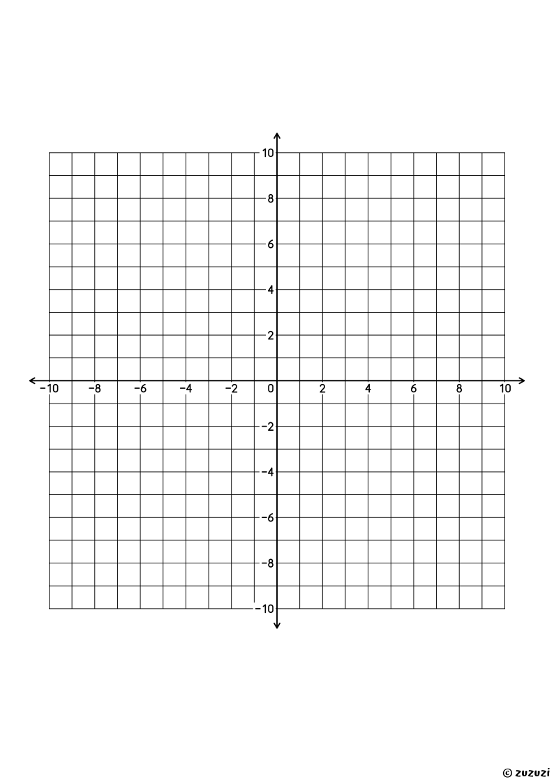
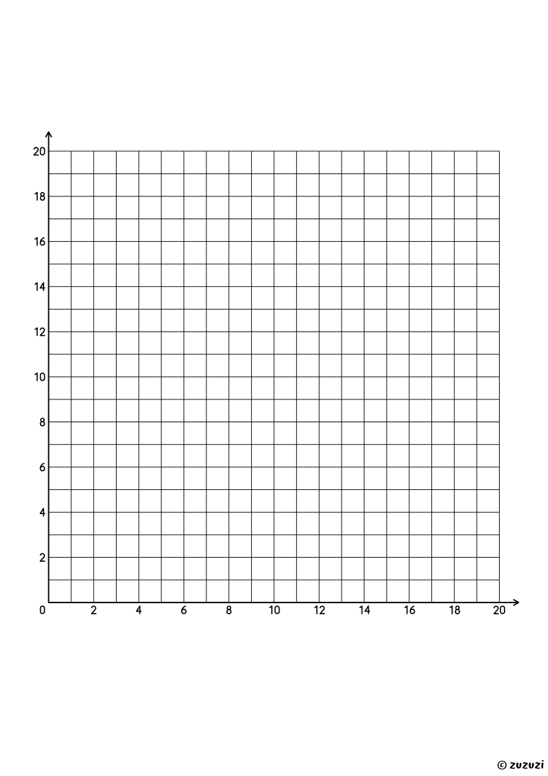
Plot points and draw graphs on these printable coordinate grids. Each page has a grid of 20 by 20 squares with two thicker axes ending in arrows, numbered every two units.
Two layouts are available: four quadrants, with both axes from −10 to 10 crossing in the middle, and the first quadrant, from 0 to 20 with the origin at the bottom left. Available as high quality PDFs ready for A4 printing.
Part of the Papers collection, Last updated on Mon, 26 Oct 2026 02:55:15 GMT.
Free Printables
Coordinate Grids (Four Quadrants)
Frequently Asked Questions
What is a coordinate grid?
A coordinate grid, or coordinate plane, is made of two number lines that cross at a right angle: the horizontal x-axis and the vertical y-axis. Each point is found with two numbers, its coordinates, written as (x, y).
Which layout should I use?
The first quadrant uses only positive numbers and suits students who are starting to plot points. The four-quadrant grid adds negative numbers, for graphing lines and shapes anywhere on the plane.